


Hiking, 28 km
8.10.2026

Logged on Vrcholovka 1x in total. Vrchol Stasiki was added here by Horalka Anička.
In a meadow, just off the road
There is no chalet on the peak.
This peak is accessible with a stroller.
There are views from the peak.
There is no cable car to this peak.
No special equipment is required for this summit.
Peak is freely accessible.
Nearest peaks: Szewczaków Wierch (907 m, 2.6 km) Kotelnica (917 m, 3.2 km) Marków Wierch (913 m, 3.4 km)
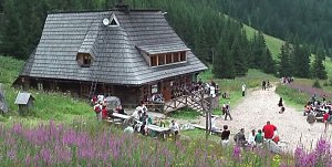 Výstup na Kościelec a Swinicu v polské části Vysokých Tater
 Výstup na Giewont v zimě aneb klid v srdci polských Tater
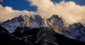 Trek Dolinou Suchej Wody Gasienicowej v polské části Vysokých Tater
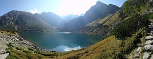 Orla Perc neboli Orlí stezka v Tatrách (z chaty Murowaniec)
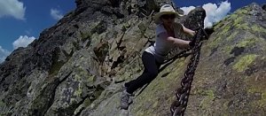 Orla Perc (Orlí stezka) v polských Vysokých Tatrách
 Trek v polských Tatrách - po Červených vrších s výstupem na Svinici
 Trek Dolinou Roztoki v polské části Vysokých Tater
 Výstup ke schronisku na Hali Ornak v Západních Tatrách
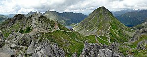 Túra dolinou Pieciu Stawow Polskich ve Vysokých Tatrách
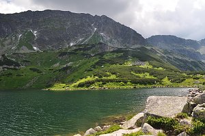 Přechod Vysokých Tater na skialpech
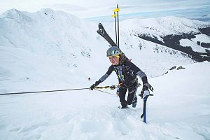
 Bialka Tatrzanska: Kotelnica - Jankulakowski Wierch
 Bialka Tatrzanska: KOTELNICA - Pasieka Express
 Bialka Tatrzanska: Bania Stok
 Bialka Tatrzanska: Wyciągi narciarskie ZEBRA
 Bialka Tatrzanska: Kotelnica - Remiaszów
 Bukowina Tatrzanska: Rusiń-ski NOWOŚĆ
 Bukowina Tatrzanska: Rusiń-ski
 Bukowina Tatrzanska: RUSIŃ-ski

| today | tomorrow | day after tomorrow | |
|---|---|---|---|
| Dawn: | 6:12 | 6:14 | 6:15 |
| Sunrise: | 6:47 | 6:48 | 6:50 |
| Sunset: | 16:00 | 15:59 | 15:58 |
| Dusk: | 16:35 | 16:34 | 16:33 |