



Hiking
út, 6.6.2023, 17:36
 Francie
Logged on Vrcholovka 1x in total. Vrchol Mont Saint-Clair was added here by Luboš N..
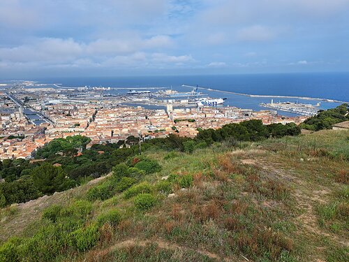
The highest point of the city of Sète in the Occitanie region. In the past, it was a separate island in the Mediterranean Sea, which separated the lagoon Étang de Thau from the open sea. At the top of the hill, there is the chapel of Notre-Dame-de-la-Salette.
There is no chalet on the peak.
This peak is accessible with a stroller.
There are views from the peak.
accessible by road
No special equipment is required for this summit.
Peak is freely accessible.
| today | tomorrow | day after tomorrow | |
|---|---|---|---|
| Dawn: | 6:43 | 6:44 | 6:46 |
| Sunrise: | 7:12 | 7:14 | 7:15 |
| Sunset: | 17:45 | 17:44 | 17:42 |
| Dusk: | 18:14 | 18:13 | 18:12 |