Southeast Basin
| Highest peak | Signal des Béguines (1149 m a.s.l.) |
|---|---|
| Most prominent peak | Signal des Béguines (1149 m a.s.l., prominence 768 m) |
| Parent unit | Massif Central |
| Main peaks | Total 6 |
| Most popular peaks | Carcassonne (152 m a.s.l.), Rocher des Doms (56 m a.s.l.), Mont Saint-Clair (175 m a.s.l.), Les Baux-de-Provence (266 m a.s.l.), Colline Saint-Eutrope (103 m a.s.l.) |

| Name | Elevation | ||||
|---|---|---|---|---|---|
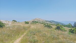
|
Signal des Béguines | 1149 m a.s.l. | Southeast Basin | 768 m | hlavní vrchol |
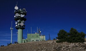
|
Mourre Nègre | 1125 m a.s.l. | Southeast Basin | 640 m | hlavní vrchol |
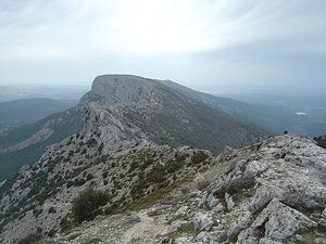
|
Baou des Vespres | 1011 m a.s.l. | Southeast Basin | 610 m | hlavní vrchol |
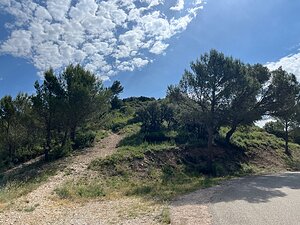
|
Les Baux-de-Provence | 266 m a.s.l. | Southeast Basin | 4 m | spočinek/ostatní |
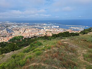
|
Mont Saint-Clair | 175 m a.s.l. | Southeast Basin | 175 m | hlavní vrchol |

|
Carcassonne | 152 m a.s.l. | Southeast Basin | 10 m | vedlejší vrchol |
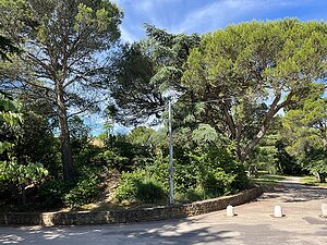
|
Colline Saint-Eutrope | 103 m a.s.l. | Southeast Basin | 48 m | hlavní vrchol |

|
Rocher des Doms | 56 m a.s.l. | Southeast Basin | 37 m | hlavní vrchol |