


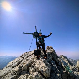

Via ferrata, 7 km
13.8.2025
 Německo
Logged on Vrcholovka 30x in total. Vrchol Hocheck was added here by Jar Faldy and info was completed by Martin Matějka a Jiří Králík.
Pre-summit of Watzmann, accessible from the north by hiking, from the south by via ferrata. Suitable for those who have issues with exposed terrain and via ferrata, thanks to the easy northern route and the mountain hut. There is a bivouac at the summit.
Photo: Jiří Králík
Watzmannhaus below the summit. Bivouac at the summit.
Peak is not stroller accessible.
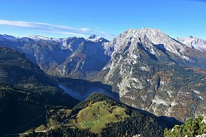
There are views from the peak.
There is no cable car to this peak.
No special equipment is required for this summit.
Peak is freely accessible.
Nearest peaks: Watzmann (2713 m, 0.5 km) 4. Watzmann Child (2270 m, 0.9 km) Watzmann Mittlerer Turm (2594 m, 0.9 km) Watzmann Südspitze (2712 m, 1.3 km) Kleiner Watzmann (2307 m, 1.4 km) Falzkopf (1930 m, 1.6 km) Hirschwiese (2114 m, 3.3 km)
 Výstup na Watzmann a okruh kolem masivu
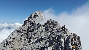 Výstup na vrchol Hochkalter
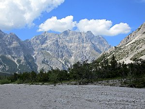 Výstup na Grünstein procházkou i sportovním klettersteigem
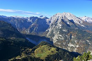 Trek Berchtesgadenskými Alpami
 Túra z Jenneru na Schneibstein a k jezírku Seeleinsee
Lehká túra k nejvyššímu německému vodopádu s plavbou přes Königssee
 Berchtesgaden: Watzmannhaus − Blick auf Watzmannfrau und Hocheckaufstieg
 Taubensee: Berchtesgadener Alps − Berchtesgadener Alpen
 Hintersee: Blaueishütte (m) - DAV
 Ramsau: Gästehaus Amort − Ihr Uhrlaub in − Webcam Blick auf den Steinberg und Hochkalter
 Schönau am Königsee › South-East
 Schönau am Königsee: Wellnesshotel Zechmeisterlehen Berchtesgaden

| today | tomorrow | day after tomorrow | |
|---|---|---|---|
| Dawn: | 6:10 | 6:11 | 6:13 |
| Sunrise: | 6:41 | 6:43 | 6:44 |
| Sunset: | 17:03 | 17:01 | 16:59 |
| Dusk: | 17:34 | 17:32 | 17:31 |


















