


Hiking, 10 km
4.8.2026
 Rakousko
Logged on Vrcholovka 1x in total. Vrchol Goldbergtauernkogel was added here by Jan Blažej and info was completed by Jan Blažej.
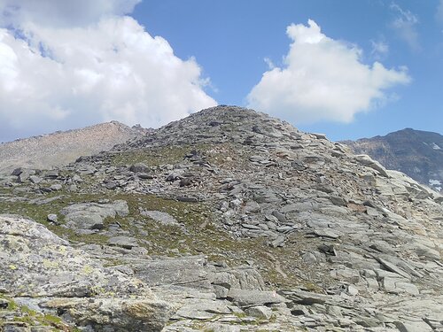
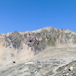
The summit is accessible via the red trail between Niedere Scharte and Fraganter Scharte. From the top, there is a stunning view of the neighboring peaks Alteck and the Schareck massif.
There is no chalet on the peak.
Peak is not stroller accessible.
There are views from the peak.
There is no cable car to this peak.
No special equipment is required for this summit.
Peak is freely accessible.
Nearest peaks: Herzog Ernst Spitze (2933 m, 0.8 km) Alteck (2942 m, 0.9 km) Herzog Ernst Spitze Z1 (2966 m, 1 km) Herzog Ernst Spitze Z2 (2987 m, 1.1 km) Neunerkogel (2827 m, 1.2 km) Riffelhöhe (2694 m, 1.6 km) Rojacherspitze (2987 m, 1.6 km) Schareck (3123 m, 1.7 km) Baumbachspitze (3105 m, 1.9 km) Strabelebenkopf (3012 m, 1.9 km) Weinflaschenkopf (3004 m, 2.1 km) Aperes Schareck (2970 m, 2.4 km) Rojacher Gratstein (2824 m, 2.6 km) Weißseekopf (2910 m, 2.6 km) Eckkopf (2871 m, 2.9 km)
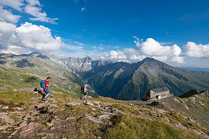 Víkendový trek nad údolím Astenal ve Vysokých Taurech v Rakousku
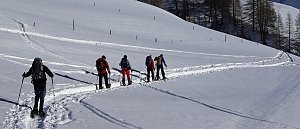
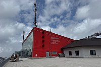
 Innerfragant: Mölltaler Gletscher - Bergstation Panoramabahn Klühspies - Blick nach Nordosten
 Innerfragant: Mölltaler Gletscher - Bergstation Gondelbahn Eissee - Blick nach Südwesten
 Heiligenblut am Grossglockner: Mölltaler Gletscher - Schareck - Blick nach Westen
 Schachnern: Goldbergkees - Blick nach Nordwesten zum Hohen Sonnblick
 Schachnern: Goldbergkees - Blick nach Südosten
 Schachnern: Sonnblick Observatorium − Blick nach Südwesten Richtung Lienzer Dolomiten
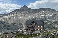
 Kolm Saigurn: Kolm-Saigurn − Naturfreundehaus − Blick nach Süden
 Schachnern: Kleinfleißkees − Blick nach Nordosten zum Hohen Sonnblick
 Gemeinde Sankt Gallenkirch: Mölltaler Gletscher - Bergstation Schwarzkopflift - Blick nach Nordwesten

| today | tomorrow | day after tomorrow | |
|---|---|---|---|
| Dawn: | 6:16 | 6:17 | 6:19 |
| Sunrise: | 6:47 | 6:49 | 6:50 |
| Sunset: | 16:55 | 16:53 | 16:52 |
| Dusk: | 17:27 | 17:25 | 17:24 |
