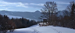
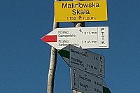


Hiking, 26 km
29.6.2024

Logged on Vrcholovka 2x in total. Spočinek Równia was added here by Ila.
A rest point with almost no prominence.
There is no chalet on the peak.
Peak is not stroller accessible.
There is no cable car to this peak.
No special equipment is required for this summit.
Peak is freely accessible.
Nearest peaks: Ostre (930 m, 2.1 km) Sharp SW (935 m, 2.4 km) Skrzyczne (1257 m, 2.4 km) Muronka (1017 m, 3.2 km)
 Szczyrk: Małe Skrzyczne (1211 m n.p.m)
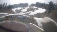
 Rombaniska: Beskid Sport Arena - SZCZYRK
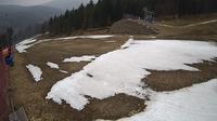 Wyrobiska: Beskid Sport Arena
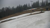 Wyrobiska: Beskid Sport Arena - SZCZYRK
| today | tomorrow | day after tomorrow | |
|---|---|---|---|
| Dawn: | 6:09 | 6:11 | 6:12 |
| Sunrise: | 6:44 | 6:45 | 6:47 |
| Sunset: | 16:10 | 16:09 | 16:07 |
| Dusk: | 16:45 | 16:43 | 16:42 |