Veľká kopa (2052 m a.s.l., Western Tatras)
Register and log summit


About peak Veľká kopa
 Slovensko
Prešovský kraj
Logged on Vrcholovka 8x in total. Peak information here was completed by Pája, Bouřka, Martin Horáček a Rastislav Biarinec.
Veľká kopa is part of challenges: Crown of the Tatras, Highest SK, TATRY 2000/100, The Highest Peaks of the Western Tatras, Váh Basin
The highest peak of the geomorphological district of Liptovské kopy, which is connected to the main ridge of the High Tatras by Hladké sedlo and, according to Polish geographers, belongs geomorphologically to the Eastern Tatras. The Czech and Slovak geomorphological classification is based, among other things, on geological conditions and the character of the mountain range, and the rounded and grassy peaks of Liptovské kopy are therefore classified as part of the Western Tatras.
Veľká kopa rises roughly in the middle of the ridge, 3 km west-southwest of Hladké sedlo and less than 6 km north-northwest of Kriváň.
- Chalet/accommodation
-
There is no chalet on the peak.
- Stroller access
-
Peak is not stroller accessible.
- Views
-
There are views from the peak.
- Cable car
-
There is no cable car to this peak.
- Equipment
-
No special equipment is required for this summit.
- Accessibility
-
The entire ridge of Liptovské kopy is a strictly protected area, and the summit of Veľká kopa is therefore inaccessible. The area is in the highest level of protection (NPR Tichá dolina) - entry is not permitted even with a mountain guide!
Nearest peaks: Veľká Garajova kopa (1969 m, 0.7 km) Zadný Holý vrch (1968 m, 0.8 km) Veľká Licierova magura (1995 m, 0.9 km) Zadná Licierova kopa (1958 m, 0.9 km) Malá Garajova kopa (1929 m, 1 km) Magura (1901 m, 1.3 km) Predný Holý vrch (1984 m, 1.4 km) Zadná Garajova kopa (1949 m, 1.5 km) Krížna (2039 m, 2.3 km) Krížna J (1866 m, 3 km) Krajná kopa (2097 m, 3.1 km) Liliowa Kopka (1975 m, 3.1 km) Prostredná kopa (2128 m, 3.1 km) Beskyd / Beskid (2012 m, 3.2 km) Všiváky (1806 m, 3.4 km)
Routes nearby
(20 km)
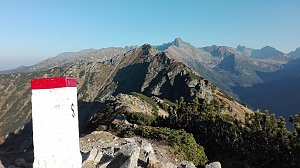 Orla Perc (Orlí stezka) v polských Vysokých Tatrách
(elevation gain 2200 m, 30 km)
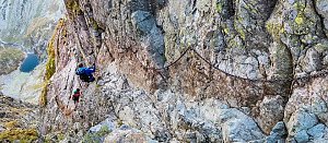 Orla Perc neboli Orlí stezka v Tatrách (z chaty Murowaniec)
(elevation gain 1800 m, 18 km)
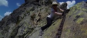 Trek Dolinou Suchej Wody Gasienicowej v polské části Vysokých Tater
(elevation gain 1200 m, 21 km)
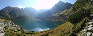 Túra dolinou Pieciu Stawow Polskich ve Vysokých Tatrách
(elevation gain 3300 m, 40 km)
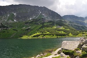 Výstup na Kościelec a Swinicu v polské části Vysokých Tater
(elevation gain 2600 m, 28 km)
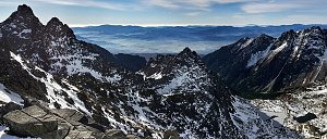 Trek Dolinou Roztoki v polské části Vysokých Tater
(elevation gain 1100 m, 18 km)
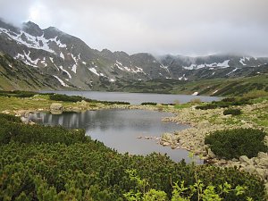 Výstup na Giewont v zimě aneb klid v srdci polských Tater
(elevation gain 900 m, 13 km)
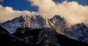 Trek v polských Tatrách - k jezerům Mořské oko a Czarny Stav pod Rysami
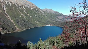 Okruh kolem jezer v polských Vysokých Tatrách
(elevation gain 1350 m, 20 km)
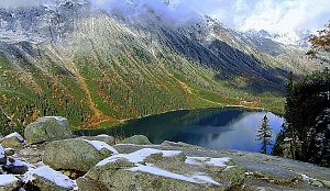 Výstup ke schronisku na Hali Ornak v Západních Tatrách
(elevation gain 1300 m, 16 km)
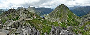 Výstup k chatě Hala Kondratowa a dále na Wielki Giewont ve Vysokých Tatrách
(elevation gain 920 m, 12 km)
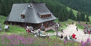 Ze Štrbského plesa na Kôprovský štít
(elevation gain 1100 m, 19 km)
 Výstup za III jižním žebrem na Voliu vežu ve Vysokých Tatrách
(elevation gain 1400 m, 20 km)
 Výstup na Kriváň, symbol Slovenska, ve Vysokých Tatrách
(elevation gain 1300 m, 20 km)
Mountain chalets
Webcams
(1954 m a.s.l., 3.6 km)
 Kuźnice: Kasprowy Wierch Dolina Gąsienicowa. System monitoringu pogody TOPR
(1970 m a.s.l., 3.6 km)
 Zakopane: Kasprowy - Panorama
(1965 m a.s.l., 3.6 km)
 Zakopane: PKL Kasprowy Wierch panorama
(1949 m a.s.l., 3.6 km)
 Zakopane › South-East: Schronisko Murowaniec - Zadni Granat - Żółta Turnia
(1532 m a.s.l., 5.4 km)

Sun
| today | tomorrow | day after tomorrow | |
|---|---|---|---|
| Dawn: | 5:44 | 5:45 | 5:47 |
| Sunrise: | 6:16 | 6:18 | 6:19 |
| Sunset: | 16:31 | 16:29 | 16:28 |
| Dusk: | 17:04 | 17:02 | 17:00 |