Všiváky (1806 m a.s.l., Western Tatras)
Register and log summit


About peak Všiváky
 Slovensko
Prešovský kraj
Logged on Vrcholovka 5x in total. Vrchol Všiváky was added here by Martin Horáček and info was completed by Martin Horáček.
Všiváky is part of challenge: The Highest Peaks of the Western Tatras
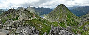
The peak Všiváky is the last of the more prominent peaks in the southern part of the Liptovské hills. It lies in the southern ridge of Krížna, which borders the Krížna valley on the eastern side, one of the branches of the Kôprová valley.
- Chalet/accommodation
-
There is no chalet on the peak.
- Stroller access
-
Peak is not stroller accessible.
- Views
-
There are views from the peak.
- Cable car
-
There is no cable car to this peak.
- Equipment
-
No special equipment is required for this summit.
- Accessibility
-
Since 1948, the entire area of the Liptovské hills has been closed for nature protection, and the peak is therefore not accessible to tourists.
Nearest peaks: Krížna J (1866 m, 0.4 km) Krížna (2039 m, 1.1 km) Štíty (1448 m, 1.9 km) Predný Holý vrch (1984 m, 2 km) Grúnik (1574 m, 2.4 km) Vyšná Priehyba (1982 m, 2.5 km) Zadný Holý vrch (1968 m, 2.6 km) Kopa (1770 m, 2.7 km) Krajný Holý vrch (1822 m, 2.9 km) Veľká Brdárová grapa (1859 m, 3.1 km) Veľká kopa (2052 m, 3.4 km) Malá Garajova kopa (1929 m, 3.9 km)
Routes nearby
(20 km)
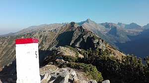 Orla Perc (Orlí stezka) v polských Vysokých Tatrách
(elevation gain 2200 m, 30 km)
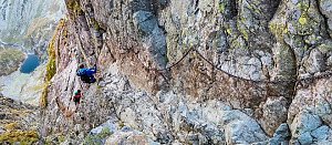 Orla Perc neboli Orlí stezka v Tatrách (z chaty Murowaniec)
(elevation gain 1800 m, 18 km)
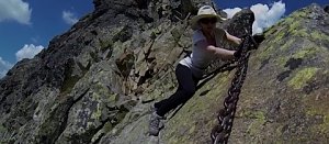 Túra dolinou Pieciu Stawow Polskich ve Vysokých Tatrách
(elevation gain 3300 m, 40 km)
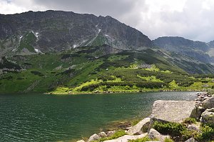 Trek Dolinou Suchej Wody Gasienicowej v polské části Vysokých Tater
(elevation gain 1200 m, 21 km)
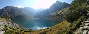 Trek Dolinou Roztoki v polské části Vysokých Tater
(elevation gain 1100 m, 18 km)
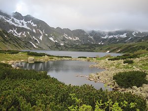 Výstup na Kościelec a Swinicu v polské části Vysokých Tater
(elevation gain 2600 m, 28 km)
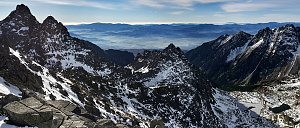 Výstup na Giewont v zimě aneb klid v srdci polských Tater
(elevation gain 900 m, 13 km)
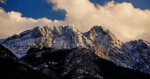 Výstup ke schronisku na Hali Ornak v Západních Tatrách
(elevation gain 1300 m, 16 km)

Webcams
( 6.7 km)
 Zakopane: Kasprowy - Panorama
(1965 m a.s.l., 6.9 km)
 Zakopane: Kasprowy - Hala Gąsienicowa
(1954 m a.s.l., 7 km)
 Kuźnice: Kasprowy Wierch Dolina Gąsienicowa. System monitoringu pogody TOPR
(1970 m a.s.l., 7 km)
 Zakopane: PKL Kasprowy Wierch panorama
(1949 m a.s.l., 7 km)
 Dolina Pięciu Stawów Polskich
(1682 m a.s.l., 8 km)
 Dolina Pięciu Stawów Polskich
(1682 m a.s.l., 8 km)
 Zakopane › South-East: Schronisko Murowaniec - Zadni Granat - Żółta Turnia
(1532 m a.s.l., 8.8 km)

Sun
| today | tomorrow | day after tomorrow | |
|---|---|---|---|
| Dawn: | 6:42 | 5:44 | 5:45 |
| Sunrise: | 7:15 | 6:16 | 6:18 |
| Sunset: | 17:33 | 16:31 | 16:30 |
| Dusk: | 18:06 | 17:04 | 17:02 |