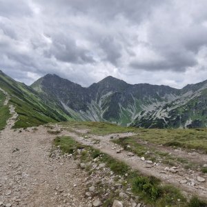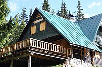
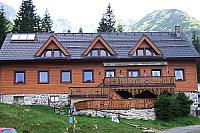


Hiking, 19 km
16.8.2026
 Slovensko
Žilinský kraj
Logged on Vrcholovka 129x in total. Peak information here was completed by Honza, Bouřka, Win Dous, Alexandr Starý, Martin Matějka a Jiří Králík.
Plačlivé is part of challenges: The Highest Peaks of Roháče, Crown of the Tatras, Highest SK, Orava Basin, TATRANSKÉ 2000 PO ZNAČCE, Tatranský turista, TATRY 2000/100, The Highest Peaks of the Western Tatras, Váh Basin
In the Liptov-Orava dialect, Plačlivô. A prominent peak of the main ridge, part of the trio Plačlivé - Ostrý Roháč - Volovec. Accessible via marked red or yellow trails, without secured sections. Excellent views of most of the Western Tatras.
There is no chalet on the peak.
Peak is not stroller accessible.
There are views from the peak.
There is no cable car to this peak.
No special equipment is required for this summit.
Peak is freely accessible.
Nearest peaks: Nohavica (2051 m, 0.5 km) Ostrý Roháč (2088 m, 0.8 km) Predná Nohavice (2025 m, 0.8 km) Zelenô (2039 m, 1.2 km) Smrek SV (2031 m, 1.3 km) Tri kopy (2136 m, 1.4 km) Druhá kopa (2132 m, 1.5 km) Kôpka (1670 m, 1.5 km) Smrek (2072 m, 1.6 km) Tretia kopa (2133 m, 1.6 km) Volovec (2064 m, 1.6 km) Hrubá kopa (2166 m, 1.9 km) Rákoň / Rakoń (1879 m, 2.2 km) Baranec (2183 m, 2.7 km) Štrbavý (2144 m, 2.8 km) Zadná Zábrať (1690 m, 2.8 km) Stredná Zábrať (1661 m, 3.1 km) Predná Zábrať (1577 m, 3.4 km)
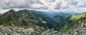 Túra ke schronisku/chatě na Polanie Chochołowskiej v Západních Tatrách

 Zuberec: Spálená
 District of Tvrdošín: Brezovica: Zuberec, Roháče-Spálená - Roháče - Spálená
 Witow › East: Kominiarski Wierch - Chochołowska Valley
 Łopata

| today | tomorrow | day after tomorrow | |
|---|---|---|---|
| Dawn: | 6:41 | 6:43 | 5:44 |
| Sunrise: | 7:14 | 7:15 | 6:17 |
| Sunset: | 17:36 | 17:34 | 16:32 |
| Dusk: | 18:08 | 18:07 | 17:05 |