Kellenspitze (2238 m a.s.l., Allgäuské Alpy)
Register and log summit
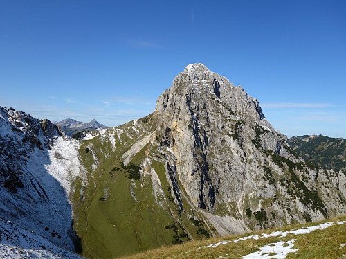

About peak Kellenspitze
 Rakousko
Vrchol Kellenspitze was added here by Jan Blažej and info was completed by Jan Blažej a Martin Matějka.
Kellenspitze is part of challenge: King of the Allgäu Alps
The highest peak of the Tannheimer Mountains in the Allgäu Alps.
- Chalet/accommodation
-
There is no chalet on the peak.
- Stroller access
-
Peak is not stroller accessible.
- Views
-
There are views from the peak.
- Cable car
-
There is no cable car to this peak.
- Equipment
-
There is a via ferrata of grade D leading to the summit, so a ferrata set is required.
- Accessibility
-
Peak is freely accessible.
Nearest peaks: Gimpel (2173 m, 1.3 km) Schneid (2009 m, 1.3 km) Rote Flüh (2108 m, 1.6 km) Gehrenspitze (2163 m, 1.9 km) Kleine Gehrenspitze (2096 m, 2.1 km) Schartschrofen (1969 m, 2.1 km)
Routes nearby
(elevation gain 1400 m, 12 km)
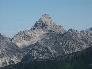
 Výstup na Hochvogel - pyramidu Allgäuských Alp
(elevation gain 1500 m, )
Webcams
( 2.2 km)
 Nesselwängle: Nesselwaengle − Stadt
(1113 m a.s.l., 2.2 km)
 Nesselwängle: Talstation
(1116 m a.s.l., 2.3 km)
 Gemeinde Hofen
( 2.5 km)
 Höfen: Hahnenkamm
(1867 m a.s.l., 2.6 km)
 Gemeinde Gran: Grän, Tannheimer Tal - Füssener Jöchle Bergstation
( 2.9 km)
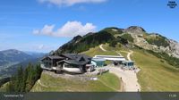 Gemeinde Nesselwangle: Nesselwängle, Tannheimer Tal - Krinnenalpe, Blick auf die Tannheimer Gruppe
( 3.8 km)
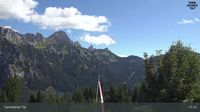
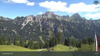 Gemeinde Nesselwangle: Nesselwängle, Tannheimer Tal - Krinnenalpe, Blick auf die Tannheimer Gruppe und den Hahnenkamm
( 3.8 km)
 Höfen: Schollenwiesenlift
(870 m a.s.l., 5 km)
 Gemeinde Weissenbach am Lech: Weißenbach am Lech
(1030 m a.s.l., 5.7 km)
 Weissenbach am Lech › South: Weißenbach am Lech
(890 m a.s.l., 6.1 km)

Sun
| today | tomorrow | day after tomorrow | |
|---|---|---|---|
| Dawn: | 7:15 | 7:16 | 7:17 |
| Sunrise: | 7:46 | 7:47 | 7:49 |
| Sunset: | 18:17 | 18:15 | 18:14 |
| Dusk: | 18:48 | 18:47 | 18:45 |