


Hiking, 13 km
12.10.2026
 Polsko
Logged on Vrcholovka 14x in total. Vrchol Polica was added here by Petr H. and info was completed by Petr H., Pája, Martin Matějka a Rastislav Biarinec.
Polica is part of challenge: Orava Basin
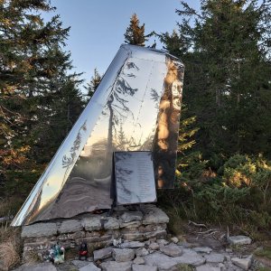
The northernmost point of Slovakia until 1920 and during 1939-1945. In the past, this was the route of the nearly thousand-year-long Slovak-Polish, or Hungarian-Galician border, when on June 28, 1920, the territory was annexed by the Poles and Czechoslovakia had to cede 27 northern Slovak municipalities to Poland. Along the hiking trail, you can still find fallen border stones that were reinstalled here during the Slovak State from 1939 to 1945.
There is no chalet on the peak.
Peak is not stroller accessible.
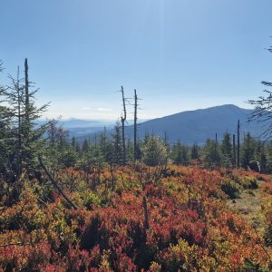
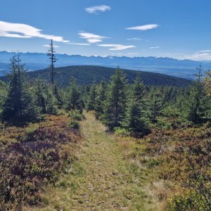
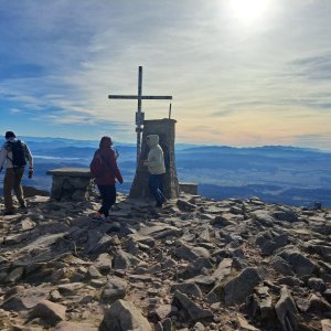
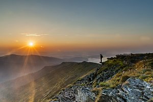
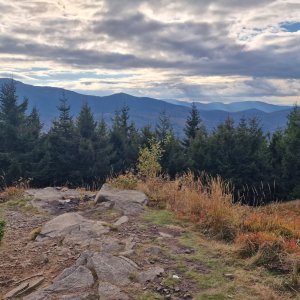
Beautiful views of the Western Tatras and the Little Fatra.
There is no cable car to this peak.
No special equipment is required for this summit.
Peak is freely accessible.
Nearest peaks: Cupel (1236 m, 1 km) Czernic (1328 m, 1.2 km) Złota Grapa (1247 m, 1.4 km) Kiczorka (1298 m, 2.1 km) Pekelnícka (Vyšný Sihlec) (1121 m, 2.5 km) Hlavniak SV (1094 m, 3 km) Główniak (1093 m, 3.4 km)
| today | tomorrow | day after tomorrow | |
|---|---|---|---|
| Dawn: | 6:42 | 6:44 | 5:45 |
| Sunrise: | 7:15 | 7:17 | 6:18 |
| Sunset: | 17:36 | 17:34 | 16:32 |
| Dusk: | 18:08 | 18:07 | 17:05 |