Seejoch (2808 m a.s.l., Stubai Alps)
Register and log summit
Weather Seejoch

About peak Seejoch
 Rakousko
Vrchol Seejoch was added here by Jan Blažej.
Help others and .
- Chalet/accommodation
-
There is no chalet on the peak.
- Stroller access
-
Peak is not stroller accessible.
- Views
-
There are views from the peak.
- Cable car
-
There is no cable car to this peak.
- Equipment
-
No special equipment is required for this summit.
- Accessibility
-
Peak is freely accessible.
Routes nearby
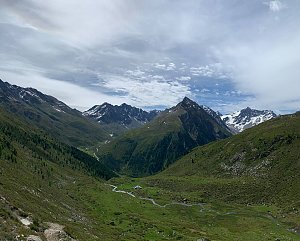
Výstup na Hochreichkopf
(elevation gain 1400 m, 20 km)
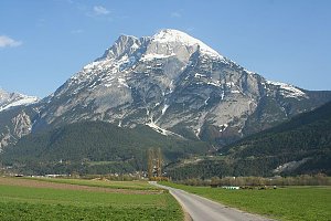
 Výstup na Hohe Munde (2662 m) v pohoří Wetterstein
(elevation gain 1500 m, )
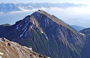
 Tůra na vrchol Saile hřebene Kalkkögel
 Ferratou na vrchol Grosse Ochsenwand
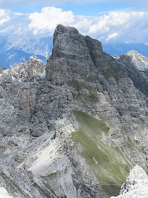 Nejvyšší vrchol hřebene Kalkkögel - Schlicker See Spitze
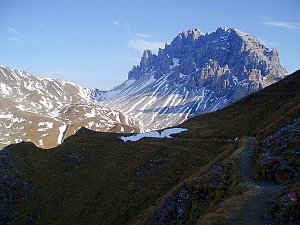 Túra za jezery do kotle Ehrwalder Kessel (2302 m) v pohoří Wetterstein
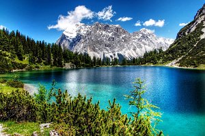 Výstup na Zugspitze oklikou přes Reintalangerhütte
(elevation gain 4200 m, 36 km)
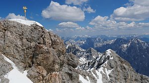 Výstup na Zugspitze feratou Höllental
(elevation gain 2800 m, 20 km)
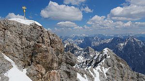 Hřebenový přechod Zugspitze – Alpspitze (Jubiläusgratweg)
 Výstup na Zugspitze z rakouské strany
(elevation gain 2000 m, )
Routes provided by SvetOutdooru.cz
(elevation gain 1400 m, 20 km)
Výstup na Hohe Munde (2662 m) v pohoří Wetterstein(elevation gain 1500 m, )
Tůra na vrchol Saile hřebene Kalkkögel
Ferratou na vrchol Grosse Ochsenwand
Nejvyšší vrchol hřebene Kalkkögel - Schlicker See Spitze
Túra za jezery do kotle Ehrwalder Kessel (2302 m) v pohoří Wetterstein
Výstup na Zugspitze oklikou přes Reintalangerhütte(elevation gain 4200 m, 36 km)
Výstup na Zugspitze feratou Höllental(elevation gain 2800 m, 20 km)
Hřebenový přechod Zugspitze – Alpspitze (Jubiläusgratweg)
Výstup na Zugspitze z rakouské strany(elevation gain 2000 m, )

Webcams
Gemeinde Sankt Sigmund im Sellrain › West: Sankt Sigmund im Sellrain
(1482 m a.s.l., 2.5 km)
 Gemeinde Sankt Sigmund im Sellrain › East: Sankt Sigmund im Sellrain
(1544 m a.s.l., 2.5 km)
 Gemeinde Sankt Sigmund im Sellrain › North-East: Gasthof Ruetz
(1556 m a.s.l., 2.5 km)
 Gemeinde Sankt Sigmund im Sellrain › North-East
(1548 m a.s.l., 2.6 km)
 Gemeinde Sankt Sigmund im Sellrain › East: Kreuzlehn
( 3.8 km)
 Gemeinde Gries im Sellrain › West: Kreuzlehn
( 4.3 km)
 Gemeinde Gries im Sellrain: Sellrain - Gries
( 5.3 km)

Cameras provided by windy.com
(1482 m a.s.l., 2.5 km)
Gemeinde Sankt Sigmund im Sellrain › East: Sankt Sigmund im Sellrain(1544 m a.s.l., 2.5 km)
Gemeinde Sankt Sigmund im Sellrain › North-East: Gasthof Ruetz(1556 m a.s.l., 2.5 km)
Gemeinde Sankt Sigmund im Sellrain › North-East(1548 m a.s.l., 2.6 km)
Gemeinde Sankt Sigmund im Sellrain › East: Kreuzlehn( 3.8 km)
Gemeinde Gries im Sellrain › West: Kreuzlehn( 4.3 km)
Gemeinde Gries im Sellrain: Sellrain - Gries( 5.3 km)
Sun
| today | tomorrow | day after tomorrow | |
|---|---|---|---|
| Dawn: | 7:15 | 6:17 | 6:18 |
| Sunrise: | 7:46 | 6:48 | 6:49 |
| Sunset: | 18:12 | 17:10 | 17:09 |
| Dusk: | 18:43 | 17:42 | 17:40 |