



Hiking, 26 km
7.11.2025
 Rakousko
Logged on Vrcholovka 1x in total. Vrchol Ahornmauer was added here by Jan Blažej and info was completed by Jan Blažej.
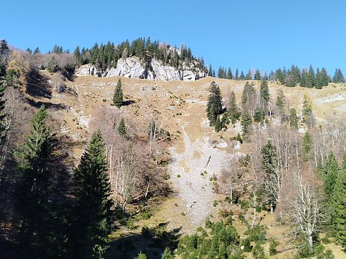
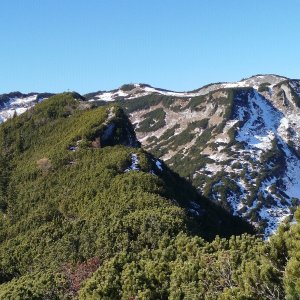
One of the peaks of the beautiful ridge trail leading over 3 summits (Jausenkogel, Ahornmauer, and Schwalbenmauer) in the Northern Austrian foothills. The ridge can be accessed from several points along the red hiking trail leading from the parking lot in Brunnental to Kasberg. The path on the ridge is unmarked but is clear in the terrain, although exposed in places. From the ridge, there are stunning views of the Totes Gebirge, Kalkalpen, and the rock face of Kremsmauer.
There is no chalet on the peak.
Peak is not stroller accessible.
There are views from the peak.
There is no cable car to this peak.
No special equipment is required for this summit.
Peak is freely accessible.
Nearest peaks: Jausenkogel (1516 m, 0.8 km) Schwalbenmauer (1657 m, 1.3 km) Roßschopf (1647 m, 2.2 km) Schwereck (1194 m, 3 km) Jägerspitz (1266 m, 3.6 km)
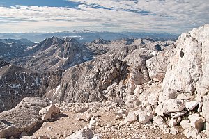 Přechod Totes Gebirge v rakouských Alpách
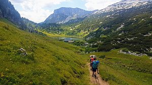 Grosser Priel od Almtaler Haus
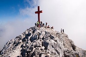
 Výstup na Grosser Priel po feratě Bert Rinesch-Steig
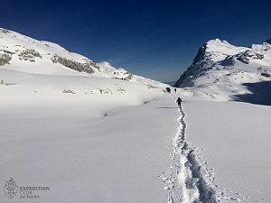
 Přechod Totes gebirge - Mrtvých hor - na sněžnicích
| today | tomorrow | day after tomorrow | |
|---|---|---|---|
| Dawn: | 6:07 | 6:08 | 6:10 |
| Sunrise: | 6:39 | 6:40 | 6:42 |
| Sunset: | 16:56 | 16:54 | 16:53 |
| Dusk: | 17:28 | 17:26 | 17:24 |
