


Hiking, 26 km
7.11.2025
 Rakousko
Logged on Vrcholovka 2x in total. Vrchol Roßschopf was added here by Martin Malý and info was completed by Martin Matějka a Jan Blažej.
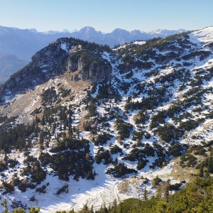
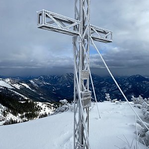
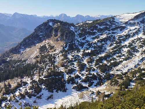
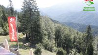
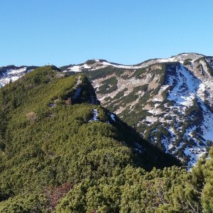
The summit of Roßschopf is accessible from the red hiking trail leading to Kasberg via an unmarked but well-trodden path. The length of the trail is approximately 10 minutes. From the top, there is a stunning view of the main massif of Totes Gebirge, including Großer Priel.
There is no chalet on the peak.
Peak is not stroller accessible.
There are views from the peak.
There is no cable car to this peak.
No special equipment is required for this summit.
Peak is freely accessible.
Nearest peaks: Kasberg (1743 m, 1 km) Schwalbenmauer (1657 m, 1.1 km) Ahornmauer (1492 m, 2.2 km) Benn Nock (1520 m, 2.6 km) Hohe Mauer (1578 m, 2.9 km)
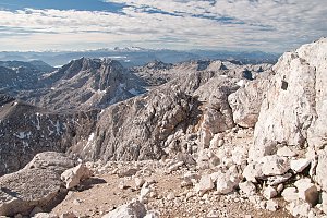 Přechod Totes Gebirge v rakouských Alpách
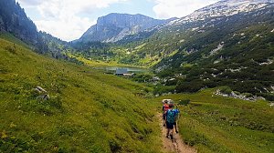 Grosser Priel od Almtaler Haus
 Výstup na Grosser Priel po feratě Bert Rinesch-Steig
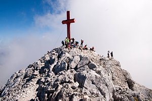 Přechod Totes gebirge - Mrtvých hor - na sněžnicích
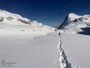 Výstup na Spitzmauer v pohoří Totes Gebirge
| today | tomorrow | day after tomorrow | |
|---|---|---|---|
| Dawn: | 7:03 | 7:04 | 6:06 |
| Sunrise: | 7:34 | 7:36 | 6:37 |
| Sunset: | 18:01 | 18:00 | 16:58 |
| Dusk: | 18:33 | 18:31 | 17:29 |