


Hiking
čt, 31.7.2025, 11:01
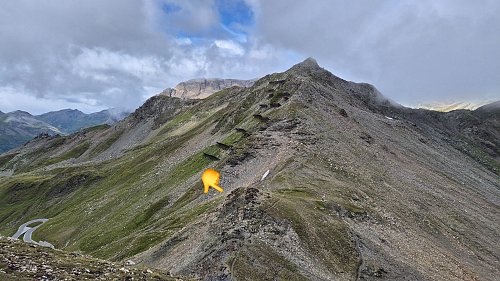

Logged on Vrcholovka 1x in total. Vrchol Hochtor was added here by p_e_t_r_95 and info was completed by p_e_t_r_95.
Saddle. To the east, an indistinct summit, not marked on maps.
There is no chalet on the peak.
Peak is not stroller accessible.
There are views from the peak.
There is no cable car to this peak.
No special equipment is required for this summit.
Peak is freely accessible.
Nearest peaks: Tauernkopf (2627 m, 0.2 km) Großer Margrötzenkopf (2734 m, 0.4 km) Großer Margrötzenkopf S (2669 m, 0.9 km) Bretterspitze (2641 m, 1.4 km) Rossschartenkopf (2665 m, 1.4 km) Schareck (2606 m, 2.2 km) Weißenbachscharte (2686 m, 2.2 km) Brennkogel (3018 m, 2.4 km)
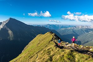 Výstup na Fuscherkarkopf
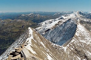 Výstup na Großes Wiesbachhorn
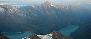 Grosses Wiesbachhorn (3564 m) – výstup na žraločí ploutev Vysokých Taur
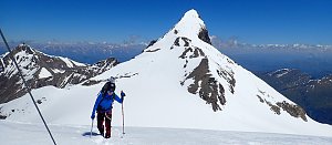
 Heiligenblut am Grossglockner: Heiligenblut, Großglockner - Fallbichl, Fallbichl
 Heiligenblut am Grossglockner: Heiligenblut, Großglockner - Fallbichl, Schareck 2600m
 Winkl: Berggasthof Wallackhaus − Heiligenblut − Blick nach Norden zum Hochtor
 Heiligenblut am Grossglockner: Heiligenblut, Großglockner - Schareck
 Grossglockner
 Heiligenblut am Grossglockner: Heiligenblut, Großglockner - Rossbach Mittelstation, Schareck
 Rauris: Großglockner - Edelweißspitze
 Heiligenblut am Grossglockner: Heiligenblut, Großglockner - Heiligenblut Ort, Großglockner
 Heiligenblut am Grossglockner: Heiligenblut, Großglockner - Heiligenblut Ort, Großglockner ganz nah
 Heiligenblut am Grossglockner: Heiligenblut, Großglockner - Heiligenblut Ort, Heiligenblut 1300m
 Krimml: Zillertalarena - Berggeistalm
| today | tomorrow | day after tomorrow | |
|---|---|---|---|
| Dawn: | 7:07 | 7:08 | 6:09 |
| Sunrise: | 7:38 | 7:39 | 6:41 |
| Sunset: | 18:07 | 18:05 | 17:04 |
| Dusk: | 18:38 | 18:37 | 17:35 |