
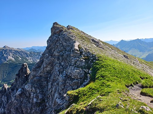



Hiking, 18 km
8.8.2025
 Lichtenštejnsko
Logged on Vrcholovka 2x in total. Vrchol Augstenbuckel was added here by Jiří Králík.
The trail bypasses the summit
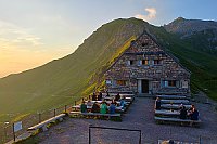
There is no chalet on the peak.
Peak is not stroller accessible.
There are views from the peak.
There is no cable car to this peak.
No special equipment is required for this summit.
Peak is freely accessible.
Nearest peaks: Augstenberg (2359 m, 0.3 km) Augstenberg J (2357 m, 0.5 km) Silberhorn (2150 m, 0.6 km) Kleiner Spitz (2175 m, 0.7 km) Gorfion (2308 m, 0.8 km) Klein Augstenberg (2248 m, 0.9 km) Spitz (2187 m, 0.9 km) Tali (2085 m, 1.1 km) Chalber (2074 m, 1.3 km) Nospitz (2091 m, 1.5 km) Bettlerhügel (2178 m, 1.7 km) Bim Chruz (2002 m, 2.1 km) Naafkopf (2571 m, 2.7 km) Naafkopf JV (2486 m, 3 km) Barthümelspitz (2468 m, 3.2 km) Hinter Grauspitz / Schwarzhorn (2574 m, 3.8 km)
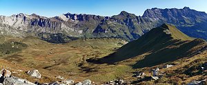 Výstup na Naafkopf - horu na trojmezí
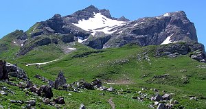 Výstup na VORDER GRAUSPITZ – nejvyšší vrchol Lichtenštejnska
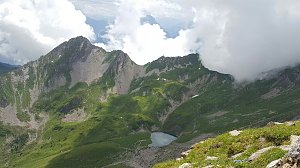 Výstup na vrchol Scheseplana, nejvyšší horu pohoří Rätikon
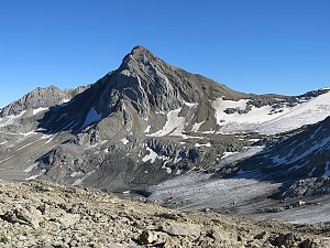
 Triesenberg: Sareis - Malbun Bergbahnen
 Triesenberg › East: Nenzinger Himmel
 Marktgemeinde Nenzing › East
 Triesenberg › South-West: Triesen - Gauschlastrasse - Trübbach, Bahnhof - Gonzen - Sargans - Vilters-Wangs - Pizol - Rheintal - Rhine River

| today | tomorrow | day after tomorrow | |
|---|---|---|---|
| Dawn: | 7:21 | 6:22 | 6:24 |
| Sunrise: | 7:52 | 6:54 | 6:55 |
| Sunset: | 18:18 | 17:17 | 17:15 |
| Dusk: | 18:49 | 17:48 | 17:46 |


