



Hiking, 4 km
14.9.2026
 Česko
Litoměřice (Ústecký kraj)
Logged on Vrcholovka 100x in total. Vrchol Lipská hora was added here by Pája and info was completed by Martin Matějka a Vladimír Grančay.
Lipská hora is part of challenges: Nejhory Středohoří, Nejhory Ústecka, Ultrakopce
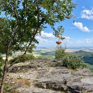
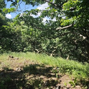
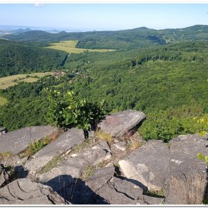
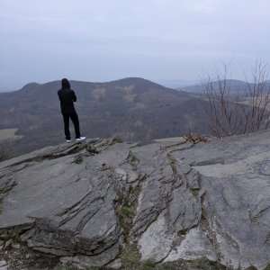
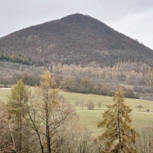
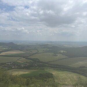
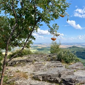
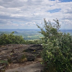
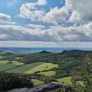
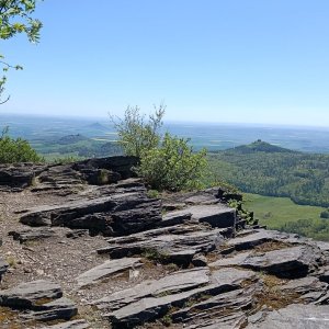
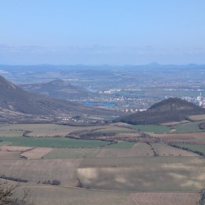
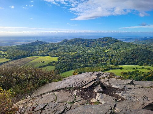
Lipská hora, sometimes also called Medvědice or Hadí hora, is an impressive basalt hill rising close to the villages of Lhota, Lipá Medvědice, at the edge of the Hradišťany massif, approximately 9 km west of Lovosice. In terms of elevation, it is the eighth highest mountain in the Czech Central Mountains. From the summit, composed of slabby weathered basalt (a phenomenon of frost weathering, where the rock breaks into slabs), there used to be a beautiful panoramic view, which is now partially limited by the overgrown vegetation. Nevertheless, it is still possible to find a spot from which to see Milešovský Kloc and Milešovka, located to the north of Lipská hora. On hiking maps, the northern part of the mountain is labeled "půlnoční strana," which here simply means an old term for "north - the northern side of the mountain." In 1951, a nature reserve covering approximately 22 ha was declared on Lipská hora to protect the flora of the rocks and stone debris, including the carnation and medicinal bear's garlic.
There is no chalet on the peak.
Peak is not stroller accessible.
There are views from the peak.
There is no cable car to this peak.
No special equipment is required for this summit.
Peak is freely accessible.
Nearest peaks: Setenka SV (605 m, 0.6 km) Setenka (612 m, 0.7 km) Nad Sluneční strání (560 m, 0.8 km) Setenka JZ (587 m, 0.9 km) Nad pískovnou (445 m, 1.2 km) Pákova hora (617 m, 1.2 km) Klůček (457 m, 1.4 km) Líšeň (551 m, 1.4 km) Pákova hora S (560 m, 1.4 km) Táhlina (670 m, 1.4 km) Táhlina JZ (544 m, 1.6 km) Táhlina JZ1 (540 m, 1.7 km) Táhlina JZ3 (537 m, 1.7 km) Lhota Z2 (500 m, 1.8 km) Lhota Z3 (501 m, 1.8 km) Táhlina S1 (558 m, 1.8 km) Táhlina S2 (562 m, 1.8 km) Dlouhý vrch (618 m, 2.1 km) Kovářka (530 m, 2.1 km) Kovářka SV (519 m, 2.1 km) Lhota Z (567 m, 2.1 km) Třtín (601 m, 2.1 km) Lhota (572 m, 2.3 km) Solanská hora (638 m, 2.3 km) U Pálečské školky (539 m, 2.4 km) Lukov (570 m, 2.6 km) Oltářík (568 m, 2.6 km) Velká skála (618 m, 2.6 km) Hlaváč (679 m, 2.8 km) Karolína (632 m, 2.8 km) Mravenčí vrch J (657 m, 2.8 km) Mravenčí vrch JZ (591 m, 2.8 km) Mravenčí vrch V (657 m, 2.8 km) Kateřina (667 m, 3 km) Milešovský kloc (674 m, 3 km) Mravenčí vrch (661 m, 3 km) Plešivec (477 m, 3 km) Bukový vrch J (686 m, 3.4 km)
| today | tomorrow | day after tomorrow | |
|---|---|---|---|
| Dawn: | 7:06 | 7:08 | 6:09 |
| Sunrise: | 7:40 | 7:41 | 6:43 |
| Sunset: | 17:57 | 17:55 | 16:53 |
| Dusk: | 18:30 | 18:28 | 17:26 |