






Running, 54 km
18.9.2026
 Rakousko
 Slovinsko
Logged on Vrcholovka 15x in total. Vrchol Golica was added here by Marek and info was completed by Martin Matějka a Bouřka.
Golica is part of challenge: Král Karavanek
A prominent three-summit massif in the main ridge. Easily accessible from the Koča na Golici hut, but it is also possible to traverse the entire summit ridge along the state border. Excellent views.
Note: The summit is incorrectly indicated in all maps, including its height, likely due to a geodetic point at the supposed highest point. However, the actual highest point is several dozen meters further (this is more than clearly noticeable in the terrain); maps.cz lists the height of the highest point as 1840m, which should be the correct position of the summit. Due to the established location and height in available sources, I do not adjust this fact on the summit card, I just feel the need to mention it.
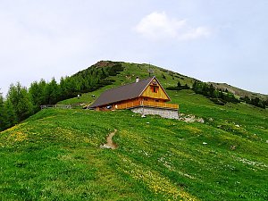
The hut is located southeast of the summit at an elevation of 1550m.
Peak is not stroller accessible.
There are views from the peak.
There is no cable car to this peak.
No special equipment is required for this summit.
Peak is freely accessible.
Nearest peaks: Golica Z (1815 m, 0.3 km) Krvavka (1780 m, 0.8 km) Mala Golica (1642 m, 1.5 km) Brdo (1192 m, 1.7 km) Klek (1754 m, 2.4 km)
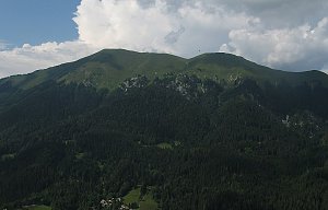 Výstup na Narcisovou horu Golico v Karavankách
 Výstup na vrchol Dovška Baba a Kepa
| today | tomorrow | day after tomorrow | |
|---|---|---|---|
| Dawn: | 6:04 | 6:05 | 6:07 |
| Sunrise: | 6:35 | 6:36 | 6:38 |
| Sunset: | 17:00 | 16:58 | 16:57 |
| Dusk: | 17:31 | 17:29 | 17:28 |
















