Král Karavanek Král Karavanek

participants
5
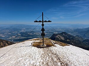
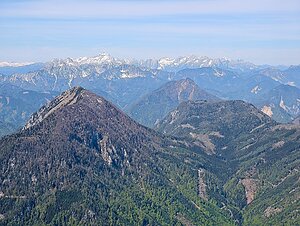
The Karavanky are a long mountain range along the border between Austria and Slovenia, representing the southern edge of the Eastern Alps. The highest peak is Hochstuhl / Stol at an elevation of 2,236 m and a prominence of 1,020 m, but the peak with the highest prominence is Hochobir / Ojstrc with a prominence of 1,075 m. From the Karavanky, there are views of the Julian Alps, Kamnik-Savinja Alps, Carnic Alps, and the High Tauern.

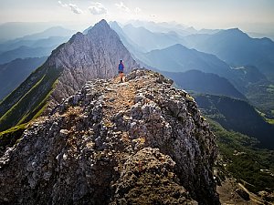
The range is primarily composed of limestones and dolomites, which have created steep rock walls, prominent ridges, karst phenomena, and extensive mountain meadows. In addition to technically easy hiking routes, there are also more challenging trails with secured sections and several well-known ferratas. A dense network of mountain huts allows for comfortable day hikes as well as multi-day crossings of the main ridge.

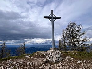
The challenge "King of the Karavanky" connects the most significant peaks of this range. Each ascent offers a different character of terrain, from grassy panoramic ridges to rocky summits.

Peak characteristics in the challenge:
- elevation above 1,700 m (only Uršlja gora has 1,699 m :-))
- prominence above 350 m
- there is a trail leading to it, including unmarked or via ferrata
- ascent is not prohibited
Stol/Hochstuhl
2237 m n.m.
1020 m
Kepa
2145 m n.m.
706 m
Hochobir / Ojstrc
2139 m n.m.
1075 m
Kordeževa glava
2126 m n.m.
881 m
Veliki vrh
2060 m n.m.
517 m
Govca (Olševa)
1929 m n.m.
592 m
Freiberg / Setiče
1923 m n.m.
972 m
Golica
1835 m n.m.
357 m
Uršlja gora
1699 m n.m.
671 m
Share