
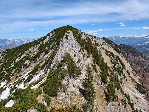



Via ferrata, 13 km
14.6.2025
 Rakousko
Logged on Vrcholovka 6x in total. Vrchol Pentorl was added here by Jiří Králík and info was completed by Martin Matějka.
The summit is accessible from the west side via a ferrata of difficulty A/B.
There is no chalet on the peak.
Peak is not stroller accessible.
There are views from the peak.
There is no cable car to this peak.
No special equipment is required for this summit.
Peak is freely accessible.
Nearest peaks: Karkogel (1615 m, 0.4 km) Gamskogel (1657 m, 0.5 km) Hainzen (1638 m, 0.6 km) Rosskopf (1657 m, 0.6 km) Hainzen SV (1632 m, 0.7 km) Jodlstein (1585 m, 0.7 km) Loskogel (1568 m, 0.7 km) Elferkogel SZ (1602 m, 1.2 km) Lehngrieskogel (1573 m, 1.2 km) Elferkogel (1601 m, 1.3 km) Katrin (1542 m, 1.6 km) Feuerkogel Z (1450 m, 1.9 km) Feuerkogel (1461 m, 2.1 km)
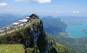 Na Schafberg od Wolfgangsee
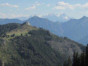 Tůry v okolí Hallstätter See
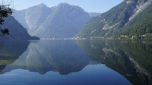 Okruh přes Hoher Dachstein
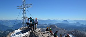 Přechod hřeben Gosaukamm
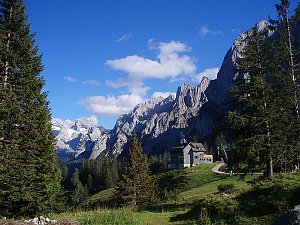
 Salzburg: Bad Ischl
 Gemeinde Kaltenbach: Bad Ischl
 Bad Ischl › North-East
 Bad Ischl: Siriuskogl
 Bad Goisern am Hallstattersee: Bad Goisern - Schülerheim

| today | tomorrow | day after tomorrow | |
|---|---|---|---|
| Dawn: | 7:04 | 7:06 | 6:07 |
| Sunrise: | 7:36 | 7:37 | 6:39 |
| Sunset: | 18:03 | 18:02 | 17:00 |
| Dusk: | 18:35 | 18:33 | 17:31 |







