


Hiking
ne, 20.4.2025, 2:59

 Rakousko
Logged on Vrcholovka 1x in total. Spočinek Freundschaftshöhe was added here by Divočák.
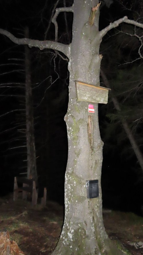
Viewpoint with a bench.
There is no chalet on the peak.
Peak is not stroller accessible.
There are views from the peak.
There is no cable car to this peak.
No special equipment is required for this summit.
Peak is freely accessible.
Nearest peaks: Stangenkogel (1661 m, 0.8 km) Traunstein (1691 m, 0.9 km) Fahnenkogel (1659 m, 1 km) Traunkirchen Kogel (1575 m, 1.5 km) Katzenstein (1349 m, 1.6 km) Hochgschirr (981 m, 1.8 km) Kleiner Katzenstein (1329 m, 2 km) Grünberg (986 m, 2.4 km) Kleiner Sulzkogel (852 m, 2.7 km) Wandlkogel (1251 m, 3.2 km) Hochkogel (1486 m, 3.3 km) Kleiner Schonberg (894 m, 3.5 km)
 Traunstein
 Gmunden › North
 Gmunden › South: Traunsteinhaus
 Gmunden: Grünberg - Bergstation Grünberg
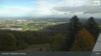 Gmunden: Grünberg - Bergstation Grünberg
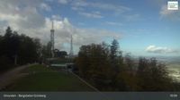 Gmunden: Grünberg - Bergstation Grünberg
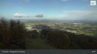 Winkl: Traunkirchen

| today | tomorrow | day after tomorrow | |
|---|---|---|---|
| Dawn: | 6:08 | 6:09 | 6:11 |
| Sunrise: | 6:40 | 6:41 | 6:43 |
| Sunset: | 16:57 | 16:55 | 16:53 |
| Dusk: | 17:28 | 17:27 | 17:25 |