Hochgschirr (981 m a.s.l., Northern Austrian Foothills)
Register and log summit
Weather Hochgschirr

About peak Hochgschirr
 Rakousko
Vrchol Hochgschirr was added here by mako88.
Help others and .
- Chalet/accommodation
-
There is no chalet on the peak.
- Stroller access
-
Peak is not stroller accessible.
- Views
-
There are no views from the peak.
- Cable car
-
There is no cable car to this peak.
- Equipment
-
No special equipment is required for this summit.
- Accessibility
-
Peak is freely accessible.
Nearest peaks: Grünberg (986 m, 0.9 km) Stangenkogel (1661 m, 2.5 km) Fahnenkogel (1659 m, 2.6 km) Traunstein (1691 m, 2.7 km) Traunkirchen Kogel (1575 m, 3 km) Katzenstein (1349 m, 3.2 km)
Routes nearby
Routes provided by SvetOutdooru.cz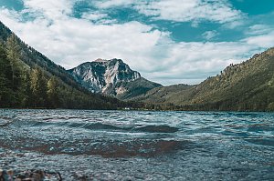
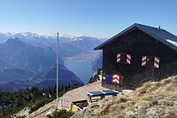
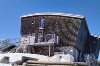
Webcams
( 0.7 km)
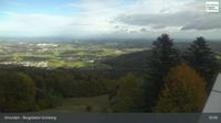 Gmunden: Grünberg - Bergstation Grünberg
( 0.7 km)
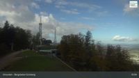 Gmunden: Grünberg - Bergstation Grünberg
( 0.7 km)
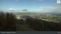 Gmunden: Gmundner Hütte am Traunstein - Ober - Blick nach Süden
(1609 m a.s.l., 2.6 km)
 Traunstein
(1614 m a.s.l., 2.6 km)
 Gmunden › North
( 3 km)
 Gmunden › South: Traunsteinhaus
( 3 km)
 Winkl: Traunkirchen
( 6.5 km)

Sun
| today | tomorrow | day after tomorrow | |
|---|---|---|---|
| Dawn: | 6:11 | 6:12 | 6:14 |
| Sunrise: | 6:43 | 6:44 | 6:46 |
| Sunset: | 16:53 | 16:52 | 16:50 |
| Dusk: | 17:25 | 17:24 | 17:22 |