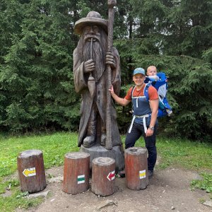
Hiking, 34 km
27.6.2026
 Česko
Semily (Liberecký kraj)
Logged on Vrcholovka 137x in total. Peak information here was completed by NadWei, Iveta Válová a Martin Matějka.
Přední Žalý is part of challenges: Koruna Sudet, Nejhory Liberecka, Thousanders of the Czech Republic, Tisícovky Krkonoš
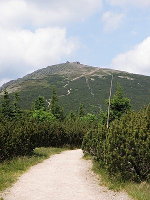
Přední Žalý is a forested hill (1019 m a.s.l.) in the Žalský ridge between Benecko and Vrchlabí. A prominent landmark of the Vrchlabí area.
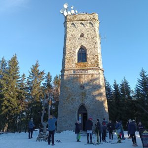
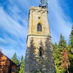
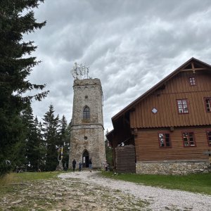
A wooden lookout tower was built at its summit as early as 1836. In 1890, a wooden restaurant with a veranda was added, which, however, disappeared in 1943. The current stone lookout tower, 18 meters high, was built in 1892. It offers excellent views of the Krkonošsko and Podkrkonošsko regions – for example, Kotel, the mound of Hanč and Vrbaty on Zlaté návrší, Medvědín, Černá hora, and Sněžka. Distant places such as the silhouettes of Ještěd, Bezděz, Ralsko, Trosek, and Zvičina can also be seen.
Access to the lookout tower is on foot via the red tourist trail from Benecko. Another option is to use the chairlift from Herlíkovice.
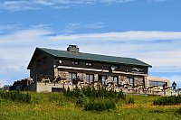
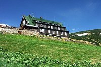
There is a chalet on the peak.
This peak is accessible with a stroller.
There are views from the peak.
There is no cable car to this peak.
No special equipment is required for this summit.
Peak is freely accessible.
Nearest peaks: Zadní Žalý (1036 m, 0.8 km) Sovinec (765 m, 1.8 km) Janský vrch (925 m, 2.4 km) Kněžický vrch (710 m, 2.6 km) Skalka (687 m, 3.3 km)
 Labská stezka
 Via Czechia: Severní stezka
 Přechod Krkonoš s dětmi
 Výstup na Sněžku z Polska
 Krkonošská hřebenovka na běžkách

 Benecko: Ski Kraj
 Benecko: Obec - Štěpanická Lhota, Kejnos
 Vrchlabi: Herlíkovice, Bubákov - Herlíkovice II
 Benecko: Obec - Dětský park
 Benecko
 Strazne › North: Strážné
 Vitkovice: v Krkonoších - v Krkonoších II, POI 1
 Vitkovice: v Krkonoších - v Krkonoších II, POI 2
 Čistá Voda: Stráň − Přední Labská
 Vrchlabi › North-West: Vejsplachy - běžkařská trať - Vrchlabí
 Vitkovice: Vitkovice v Krkonosich: Lyžařský areál Janova Hora - Sjezdovka
 Predni Labska: Město Špindlerův Mlýn - Svatý Petr, Pláně
 Bedrichov: Svatý Petr - Pláň - Špindlerův Mlýn
 Spindleruv Mlyn: Hromovka
 Skelné Hutě: Rezek − pension Hájenka

| today | tomorrow | day after tomorrow | |
|---|---|---|---|
| Dawn: | 7:00 | 7:01 | 6:03 |
| Sunrise: | 7:33 | 7:35 | 6:37 |
| Sunset: | 17:50 | 17:48 | 16:46 |
| Dusk: | 18:23 | 18:21 | 17:20 |