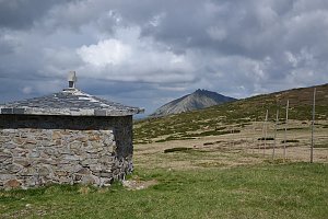


Hiking, 57 km
28.10.2026 to 29.10.2026
 Česko
Semily (Liberecký kraj)
Logged on Vrcholovka 96x in total. Peak information here was completed by Martin Matějka.
Zadní Žalý is part of challenges: Koruna Sudet, Nejhory Liberecka, Thousanders of the Czech Republic, Tisícovky Krkonoš, Ultrapeaks
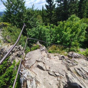
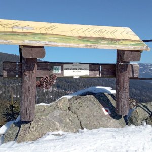
A prominent mountain in the southern part of the Krkonoš Žalský Ridge, about 1.5 km from Benecko. To the northeast, it features the rocky ridge Žalský Kozí hřbet, whose resilient rock forms the right bank of the Elbe Gorge. The higher of the two peaks, the lower one (Přední Žalý) has an observation tower and the Herlíkovice ski area.
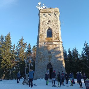
observation tower on the nearby peak Přední Žalý
Peak is not stroller accessible.
observation tower on the nearby peak Přední Žalý
to the nearby Přední Žalý
No special equipment is required for this summit.
Peak is freely accessible.
Nearest peaks: Přední Žalý (1019 m, 0.8 km) Janský vrch (925 m, 1.6 km) Sovinec (765 m, 2.6 km) Kněžický vrch (710 m, 3.4 km)

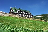
 Benecko: Ski Kraj
 Benecko: Obec - Štěpanická Lhota, Kejnos
 Benecko: Obec - Dětský park
 Benecko
 Vrchlabi: Herlíkovice, Bubákov - Herlíkovice II
 Vitkovice: v Krkonoších - v Krkonoších II, POI 1
 Vitkovice: v Krkonoších - v Krkonoších II, POI 2
 Čistá Voda: Stráň − Přední Labská
 Strazne › North: Strážné
 Vitkovice: Vitkovice v Krkonosich: Lyžařský areál Janova Hora - Sjezdovka
 Vrchlabi › North-West: Vejsplachy - běžkařská trať - Vrchlabí
 Predni Labska: Město Špindlerův Mlýn - Svatý Petr, Pláně
 Bedrichov: Svatý Petr - Pláň - Špindlerův Mlýn
 Spindleruv Mlyn: Hromovka
 Spindleruv Mlyn: Penzion Alenka - Labská, Přehrada
 Špindlerův Mlýn › North-West: Pension Alenka Spindleruv Mlyn
 Skelné Hutě: Rezek − pension Hájenka
 Spindleruv Mlyn: Svaty Petr II, Nástup Lanovky
 Spindleruv Mlyn: Svaty Petr II, Restaurace
 Spindleruv Mlyn › South-East

| today | tomorrow | day after tomorrow | |
|---|---|---|---|
| Dawn: | 6:13 | 6:14 | 6:16 |
| Sunrise: | 6:47 | 6:49 | 6:50 |
| Sunset: | 16:35 | 16:33 | 16:31 |
| Dusk: | 17:09 | 17:07 | 17:06 |