
Hiking, 12 km
10.9.2026
 Česko
Trutnov (Královéhradecký kraj)
Logged on Vrcholovka 33x in total. Peak information here was completed by Martin Matějka a Krtek.
Jelení vrch is part of challenges: Koruna Sudet, Menagerie, The Highest Mountains of Hradec Králové Region, Thousanders of the Czech Republic, Tisícovky Krkonoš
Geodetic pole and boundary stone near the path, the highest point a few meters away.
There is no chalet on the peak.
Peak is not stroller accessible.
There are no views from the peak.
There is no cable car to this peak.
No special equipment is required for this summit.
Peak is freely accessible.
Nearest peaks: Špičák (1001 m, 0.6 km) Smrčina (688 m, 3.6 km) Kotel (944 m, 3.8 km)
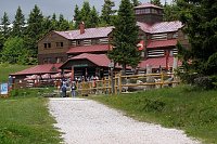
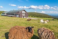
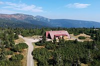

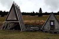
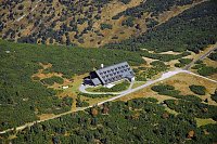
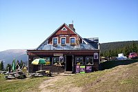
 Černý Důl
 Cerny Dul: Černý Důl
 Dolni Dvur: Lyžařský areál - Údolí
 Pec pod Snezkou: Schneekope
 Pec pod Snezkou: Schneekope
 Janske Lazne › South-West
 Pec pod Snezkou › East: Cerná Hora
 Janske Lazne: Černá hora - Vysílač ČRa
 Janske Lazne › South
 Janske Lazne: Janské Lázně, Černá hora - Pod Sokolskou boudou
 Janske Lazne: Janské Lázně, Černá hora - Pod Sokolskou boudou
 Pec pod Snezkou: Javor
 Pec pod Snezkou: Javor
 Janske Lazne: Černá Hora Lookout
 Janske Lazne: Janské Lázně, Černá hora - Černá hora
 Janske Lazne: Janské Lázně, Černá hora - Černá hora
 Janske Lazne: Janské Lázně, Černá hora - Hoffmanky
 Lanov: Airport Vrchlabi
 Pec pod Snezkou › West: HOTELHORIZONT
 Pec pod Snezkou: Bobová dráha
 Pec pod Sněžkou: Chalupa na Rozcestí (Krkonoše)
 Pec pod Snezkou › North-East: Sněžka - Na Rozcestí
 Pec pod Snezkou › North-east: Luční hora - Studniční hora - Sněžka
 Strazne › North: Strážné - Czech Republic: Friesovy boudy
 Pec pod Snezkou › North

| today | tomorrow | day after tomorrow | |
|---|---|---|---|
| Dawn: | 6:03 | 6:04 | 6:06 |
| Sunrise: | 6:36 | 6:38 | 6:40 |
| Sunset: | 16:45 | 16:43 | 16:42 |
| Dusk: | 17:19 | 17:17 | 17:15 |