


Hiking, 27 km
12.6.2021

 Česko
Trutnov (Královéhradecký kraj)
Logged on Vrcholovka 2x in total. Vrchol Kotel was added here by Bouřka.
Help others and .
There is no chalet on the peak.
Peak is not stroller accessible.
There are no views from the peak.
There is no cable car to this peak.
No special equipment is required for this summit.
Peak is freely accessible.
Nearest peaks: Liščí hora (1363 m, 1.6 km) Nad Hanapetrem (890 m, 2 km) Světlý vrch (1316 m, 2 km) Zadní Planina (1423 m, 3 km) Jelení vrch (1024 m, 3.8 km)
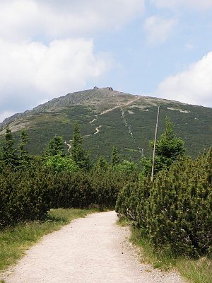 Přechod Krkonoš
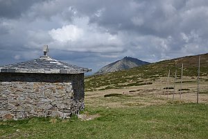 Via Czechia: Severní stezka
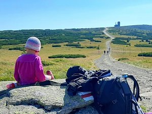
 Přechod Krkonoš s dětmi
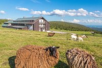

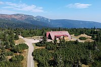
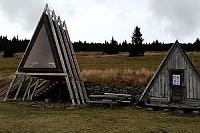
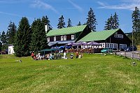
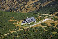
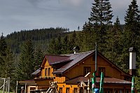
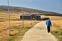
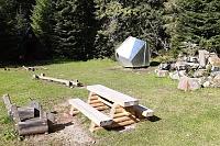
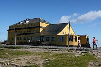
 Pec pod Snezkou › East: Cerná Hora
 Pec pod Snezkou › North-East: Sněžka - Na Rozcestí
 Pec pod Snezkou › North-east: Luční hora - Studniční hora - Sněžka
 Strazne › North: Strážné - Czech Republic: Friesovy boudy
 Tetrevi Boudy
 Dolni Dvur: Lyžařský areál - Údolí
 Pec pod Snezkou: Schneekope
 Pec pod Snezkou: Schneekope
 Špindlerův Mlýn: STOH - Svatý Petr | Špindlerův Mlýn, Czech republic
 Pec pod Snezkou › North
 Bedrichov: Svatý Petr - Pláň - Špindlerův Mlýn
 Predni Labska: Město Špindlerův Mlýn - Svatý Petr, Pláně
 Spindleruv Mlyn: Svaty Petr II, Nástup Lanovky
 Spindleruv Mlyn: Svaty Petr II, Restaurace
 Pec pod Snezkou › East: Luční bouda - Královéhradecký kraj, Česko
 Černý Důl
 Pec pod Snezkou: Krkonoše - Luční bouda (pohled na boudu se sezením)
 Cerny Dul: Černý Důl
 Karpacz › East: Dom Śląski Karpacz

| today | tomorrow | day after tomorrow | |
|---|---|---|---|
| Dawn: | 6:59 | 7:01 | 6:03 |
| Sunrise: | 7:33 | 7:35 | 6:36 |
| Sunset: | 17:49 | 17:47 | 16:45 |
| Dusk: | 18:23 | 18:21 | 17:19 |


