

Hiking
so, 24.8.2024, 9:45

 Česko
Logged on Vrcholovka 1x in total. Spočinek Oldříš was added here by Tor and info was completed by Tor.
Oldříš (Ullersdorf) is a vanished mountain village from the 14th century, originally spread across the valley plain. Before World War II, Oldříš was a center for winter recreation. After 1945, the village was gradually evacuated during the expulsion of Germans and was leveled during the 1950s. The last remnants of buildings are located in the immediate vicinity of the transmitter, about 1.5 km northwest of Oldříš Mountain.
There is no chalet on the peak.
This peak is accessible with a stroller.
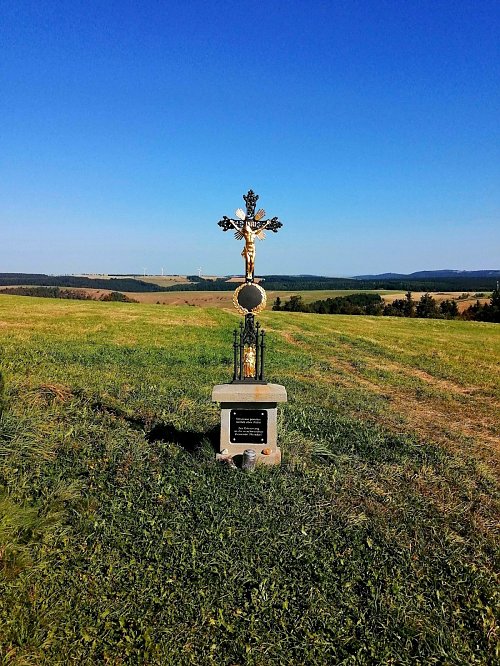
There are views from the peak.
There is no cable car to this peak.
No special equipment is required for this summit.
Peak is freely accessible.
Nearest peaks: Oldřišský vrch (877 m, 0.8 km) Sklářský vrch (864 m, 1.6 km) Nad Křížkem (857 m, 1.7 km) Nad Moldavou (797 m, 2.2 km) Hemmschuh (846 m, 2.7 km)
 Moldava › North-east
 Nové Město: Bouřňák Horská služba stanice
 Moldava › East: Pramenáč
 Moldava › South: Bouřňák - Ústecký kraj, Česko
 Moldava
 Nove Mesto u Mikulova: Sport Centrum Bouřňák - Vrchol Bouřňák, pohled na jih
 Mikulov
 Mikulov
 Mikulov › North
 Mikulov
 Mikulov
 Mikulov › South-East
 Mikulov
 Mikulov
 Mikulov
 Dlouhá Louka: Osek

| today | tomorrow | day after tomorrow | |
|---|---|---|---|
| Dawn: | 7:08 | 7:09 | 6:11 |
| Sunrise: | 7:41 | 7:43 | 6:44 |
| Sunset: | 17:57 | 17:55 | 16:53 |
| Dusk: | 18:31 | 18:29 | 17:27 |