

Hiking, 24 km
25.1.2025
 Albánie
Logged on Vrcholovka 1x in total. Vrchol Maja Bredhit was added here by Jan and info was completed by Martin Matějka.
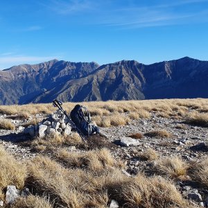
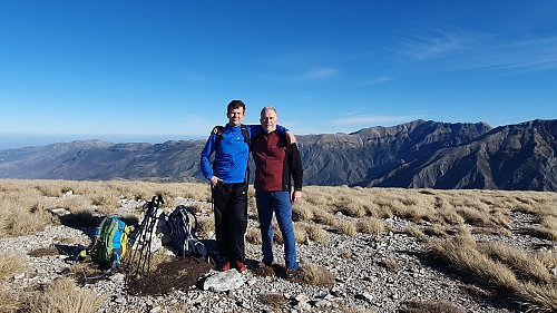
The summit is relatively easy to reach from the parking lot below Llogara Pass at an altitude of 812m. If you follow the red trail, you will first walk through a unique Mediterranean forest. After about 3.5 kilometers, before the water reservoir at Qafa Thellë, you will sharply turn right at an altitude of 1170m directly towards the summit of Maja Bredhit. The trail is marked on the map, but it does not exist. It is a path through open terrain. The views from the mountain are worth the ascent. The total elevation gain is 650m.
There is no chalet on the peak.
Peak is not stroller accessible.
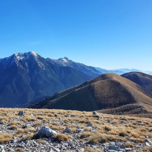
From the summit, you can see the Ionian Sea and the Greek island of Corfu to the south. The Adriatic Sea to the north. To the northwest, the Karabun Peninsula. To the east, Maja Qores and Maja e Çikës (2045 m). The views are magical.
There is no cable car to this peak.
No special equipment is required for this summit.
Peak is freely accessible.
Nearest peaks: Maja Gjipalit (1446 m, 1.4 km) Maja Shendëlliut (1500 m, 1.8 km) Maja Thanasit Z (1380 m, 2.4 km) Maja Thanasit (1352 m, 3.3 km)
| today | tomorrow | day after tomorrow | |
|---|---|---|---|
| Dawn: | 7:33 | 7:34 | 6:35 |
| Sunrise: | 8:01 | 8:02 | 7:03 |
| Sunset: | 18:51 | 18:49 | 17:48 |
| Dusk: | 19:18 | 19:17 | 18:16 |