

Hiking, 33 km
13.6.2026
 Česko
Prachatice (Jihočeský kraj)
Logged on Vrcholovka 19x in total. Peak information here was completed by Martin Matějka.
Koňský vrch is part of challenges: Šumavské tisícovky, The Highest Peaks of South Bohemia, Thousanders of the Czech Republic
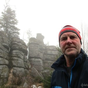
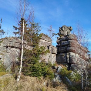
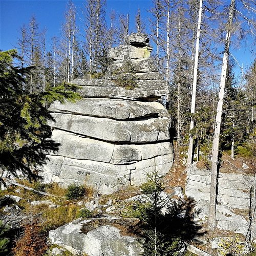
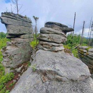
A prominent ridge crowned by a roughly 400-meter-long row of rocks. The highest of them is located in the southeastern part. According to the ČÚZK map, 150 meters northwest lies a candidate for a secondary peak, almost equally high (also 1026 m) with a prominence of about 14 m, but it is too close to be considered a secondary peak (the minimum is 200 m). Another candidate is located another 150 meters northwest - height 1021 m, prominence about 5 m, but too close to the first candidate.
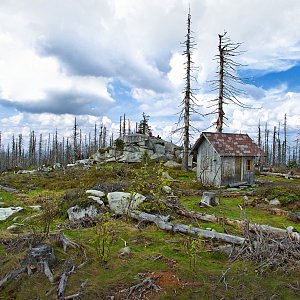
There is no chalet on the peak.
Peak is not stroller accessible.
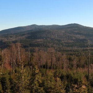
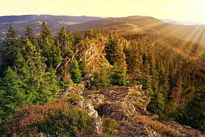
There are views from the peak.
There is no cable car to this peak.
No special equipment is required for this summit.
Peak is freely accessible.
Nearest peaks: Koňský vrch SZ (1025 m, 0.1 km) Rock Basin (1021 m, 0.3 km) Kobylí hlava (994 m, 0.6 km) Kobylí hlava V (999 m, 0.8 km) Jelenský les (828 m, 1.4 km) Rosenauerův les (962 m, 1.4 km) Jelenský vrch (823 m, 1.7 km) Nad Rossbachem JZ (913 m, 1.7 km) Nad Rossbachem (915 m, 1.9 km) Nad Rakouskou cestou (1054 m, 2.1 km) At Pařezí V (947 m, 2.3 km) Plechý (1378 m, 2.5 km) Above the Path of Geometers (897 m, 2.6 km) Buchenwald (1214 m, 2.9 km) Na Spálené cestě (944 m, 2.9 km) Studničná (1160 m, 3 km) Above the Burned Path J (987 m, 3.1 km) Above the Burnt Path SE3 (977 m, 3.1 km) Above the Burned Path V (991 m, 3.2 km) Above the Burnt Path SE1 (989 m, 3.2 km) Above the Burnt Path SE2 (987 m, 3.2 km) Nad Spálenou cestou (991 m, 3.2 km) Plešivec (978 m, 3.3 km) Perník J1 (1040 m, 3.4 km) Perník JZ2 (1045 m, 3.4 km) Plešivec Z (939 m, 3.4 km) Perník JV (978 m, 3.7 km) Plöckenstein JV (1228 m, 3.8 km)
 Přechod NP Šumava
 Klaffer am Hochficht: Hochficht Böhmerwald - Reischlberg Mittelstation
 Klaffer am Hochficht: Hochficht Böhmerwald - Reischlberg Mittelstation
 Klaffer am Hochficht: Hochficht Böhmerwald - Reischlberg Mittelstation
 Klaffer am Hochficht: Hochficht Böhmerwald - Skiarena Hochficht
 Klaffer am Hochficht: Hochficht Böhmerwald - Hochficht Bergstation
 Schwarzenberg am Bohmerwald: Schwarzenbergbahn Talstation

| today | tomorrow | day after tomorrow | |
|---|---|---|---|
| Dawn: | 7:04 | 7:06 | 6:07 |
| Sunrise: | 7:37 | 7:38 | 6:40 |
| Sunset: | 18:00 | 17:58 | 16:56 |
| Dusk: | 18:32 | 18:30 | 17:29 |