Strážný (274 m a.s.l., Kyjovská pahorkatina)
Register and log summit

About peak Strážný
 Česko
Hodonín (Jihomoravský kraj)
Vrchol Strážný was added here by Martin Matějka.
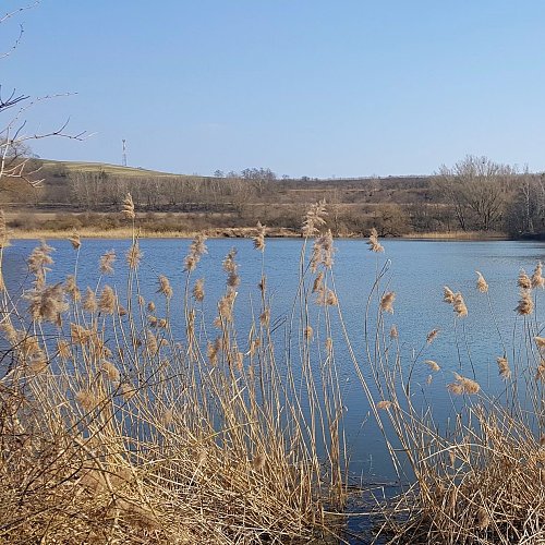
The local name Strážný is indicated on the ČÚZK map. There is a transmitter at the summit, and a pond named Balaton is located below the western slope.
- Chalet/accommodation
-
There is no chalet on the peak.
- Stroller access
-
Peak is not stroller accessible.
- Views
-
There are views from the peak.
- Cable car
-
There is no cable car to this peak.
- Equipment
-
No special equipment is required for this summit.
- Accessibility
-
Peak is freely accessible.
Nearest peaks: Mastný kopec (256 m, 0.9 km) Strážný kopec (258 m, 2.1 km) Petrovec (299 m, 2.8 km) Homole (273 m, 3 km) Dlouhé úlehle (327 m, 3.4 km)
Sun
| today | tomorrow | day after tomorrow | |
|---|---|---|---|
| Dawn: | 6:54 | 5:55 | 5:57 |
| Sunrise: | 7:26 | 6:28 | 6:29 |
| Sunset: | 17:45 | 16:43 | 16:42 |
| Dusk: | 18:18 | 17:16 | 17:14 |