

Hiking, 50 km
25.10.2025
 Česko
Hodonín (Jihomoravský kraj)
Logged on Vrcholovka 2x in total. Vrchol Dlouhé úlehle was added here by Martin Matějka and info was completed by Jiřina.
Dlouhé úlehle is part of challenge: Nejhory SM Karpat
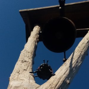
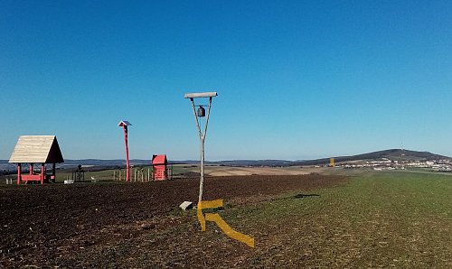
At the summit, there is a shelter Maruška and a bell tower.
The shelter is on private property with a warning of NO ENTRY, so it is not open to the public.
There is no chalet on the peak.
Peak is not stroller accessible.
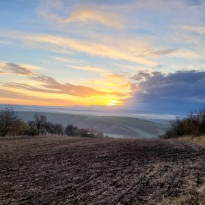
There are views from the peak.
There is no cable car to this peak.
No special equipment is required for this summit.
Difficult to access, the summit is surrounded by long fields and the path marked on maps across the summit is plowed under, effectively non-existent.
Nearest peaks: Na stráních (255 m, 1.6 km) Homole (273 m, 2.1 km) Michálky (247 m, 2.7 km) Mastný kopec (256 m, 3.1 km) Strážný (274 m, 3.4 km)
| today | tomorrow | day after tomorrow | |
|---|---|---|---|
| Dawn: | 6:52 | 6:54 | 5:55 |
| Sunrise: | 7:24 | 7:26 | 6:28 |
| Sunset: | 17:47 | 17:45 | 16:43 |
| Dusk: | 18:19 | 18:18 | 17:16 |