



Hiking
so, 13.9.2025, 13:29
 Německo
 Rakousko
Logged on Vrcholovka 4x in total. Vrchol Hohes Brett was added here by Petr Švejnoha and info was completed by Divočák.
Help others and .
There is no chalet on the peak.
Peak is not stroller accessible.
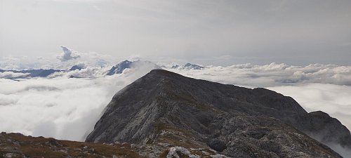
There are views from the peak.
There is no cable car to this peak.
No special equipment is required for this summit.
Peak is freely accessible.
Nearest peaks: Pfaffenkegel (1850 m, 1.2 km) Großer Archenkopf (2391 m, 1.5 km) Hoher Göll (2522 m, 1.7 km) Kleiner Jenner (Vogelstein) (1645 m, 2 km) Jenner (1874 m, 2.4 km) Schneibstein (2276 m, 2.5 km) Kehlstein (1881 m, 2.8 km) Klausbichel (1065 m, 2.9 km) Reinersberg (2171 m, 3 km)
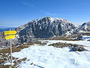 Túra na Hoher Göll přes Orlí hnízdo
 Výstup na Grünstein procházkou i sportovním klettersteigem
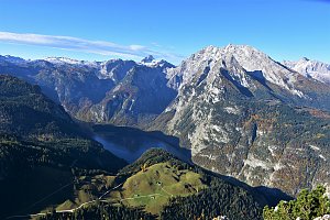 Túra z Jenneru na Schneibstein a k jezírku Seeleinsee
Trek Berchtesgadenskými Alpami
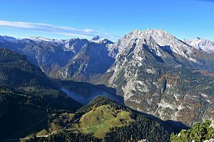 Lehká túra k nejvyššímu německému vodopádu s plavbou přes Königssee
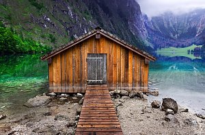
 Berchtesgaden: Jennerbahn
 Berchtesgaden Alps: Berchtesgaden - FlyingCam
 Konigssee: Hagengebirge - Funtenseetauern
 Konigssee: Hohes Brett
 Schönau am Königsee: Jenneralm - Jennerbahn
 Schönau am Königsee: Jennerbahn
 Schonau am Konigssee: Jenner Bergstation
 Schonau am Konigssee: Jenner Bergstation
 Berchtesgaden: Kehlstein
 Grafl: Windbeutelbaron - Obersalzberg - Berchtesgaden - Blick zum Watzmann
 Berchtesgaden › South-West
 Eck: Berchtesgaden - Rossfeld Panoramastraße
 Berchtesgaden › South-East: Watzmann
 Berchtesgaden
 Dörfl: Gotzenalm
 Berchtesgaden: Rostalm-Cam

| today | tomorrow | day after tomorrow | |
|---|---|---|---|
| Dawn: | 6:22 | 6:23 | 6:25 |
| Sunrise: | 6:54 | 6:56 | 6:57 |
| Sunset: | 16:47 | 16:46 | 16:44 |
| Dusk: | 17:20 | 17:18 | 17:17 |


