


Hiking, 12 km
14.8.2026
 Itálie
 Rakousko
Logged on Vrcholovka 19x in total. Vrchol Similaun was added here by Bouřka and info was completed by Milan "Hojší" Průžek, Bouřka a Martin Matějka.
Similaun is part of challenges: Austrian Alps, TOP 10 Austria
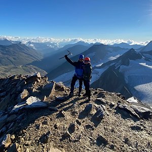
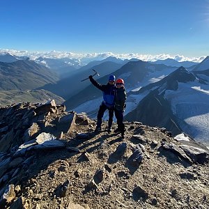
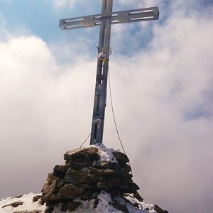
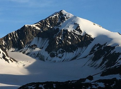
The fifth highest peak of the Ötztal Alps and the seventh in all of Austria. It lies in the Schnalskamm ridge in Tyrol, precisely on the border between Austria and Italy, somewhat forgotten in the shadow of the nearby and much more visited Wildspitze. The summit dominantly rises above the surrounding glaciers: to the northeast Marzellferner, to the northwest Niederjochferner, and to the south Grafferner. To the southwest, the peak drops steeply into a debris field called Similaungrube.
The first ascent of Similaun was made in 1834 by Theodor Kaserer and Josef Raffeiner. A short distance from the Similaunhütte hut, which is the starting point for the ascent to Similaun, there is a spot just below the Hauslabjoch pass at Tisenjoch at an altitude of 3210 m where the mummy of a Copper Age man named Ötzi was found in the ice in 1991.
Access
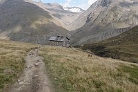
From the south on the Italian side – ascend from the Val di Senales valley to the Similaunhütte hut.
From the north on the Austrian side via the Niedertal valley from the village of Vent to the Similaunhütte or Martin Busch Hütte.
Ascent
The Similaunhütte hut serves as the main base for the ascent to Similaun. From the hut, one ascends the Niederjochferner glacier to the snowy summit ridge and to the summit itself. The Niederjochferner glacier contains a depression in its center, around which there are many larger crevasses. It is therefore advisable to bypass this depression on one side where the glacier is more compact.
An alternative route is the ascent from the Martin Busch Hütte hut, along the Marzellkamm rocky ridge, which leads to the upper part of the Niederjochferner glacier and subsequently to the summit ridge and the summit itself.
Difficulty
Both ascent options are true high-altitude routes with all the hazards that high-altitude hiking entails: glacier crossing, exposed rocky terrain, and significant elevation gain. Therefore, the basic prerequisites for the ascent are sure-footedness, resistance to dizziness, experience in glacier travel and rescue from glacier crevasses, appropriate equipment, and of course, good physical condition.
/Photo: Storm/
There is no chalet on the peak.
Peak is not stroller accessible.
Under exceptional conditions from Grossglockner to Bernina.
There is no cable car to this peak.
Special equipment is required for this summit.
Peak is freely accessible.
Nearest peaks: Kleiner Similaun (3363 m, 1 km) Punta di Marzèl Ovest (3527 m, 1.4 km) Marzellkammspitze (3149 m, 2.1 km) Jochköfel (3124 m, 2.5 km) Mutmalspitze (3528 m, 3 km)
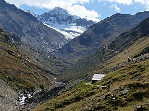 Výstup na Similaun s návratem přes sedlo Hauslabjoch a soutěsku Rofen
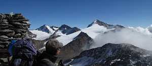 Výstup na bělostný vrchol Palla Bianca neboli Weisskugel
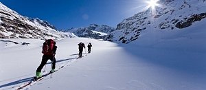
 Nekonečné roviny Oetztálských Alp na sněžnicích či skialpech
 Schnals - Senales › West: Vernagt-Stausee
 Madonna: Senales - Schnals - Fraktion User Frau, Berghotel Tyrol
 Schnals - Senales: Madonna Di
| today | tomorrow | day after tomorrow | |
|---|---|---|---|
| Dawn: | 7:13 | 7:14 | 7:16 |
| Sunrise: | 7:44 | 7:45 | 7:47 |
| Sunset: | 18:17 | 18:16 | 18:14 |
| Dusk: | 18:48 | 18:46 | 18:45 |