Włodarz (811 m a.s.l., Soví hory)
Register and log summit


About peak Włodarz
 Polsko
Vrchol Włodarz was added here by Martin Matějka.
Under the northeastern slope lies the underground complex Włodarz, the largest discovered site that was part of the Nazi project Riese. Guided tours are available, including boat trips through the flooded tunnels. Opening hours see wlodarz.pl.
- Chalet/accommodation
-
There is no chalet on the peak.
- Stroller access
-
Peak is not stroller accessible.
- Views
-
There are views from the peak.
- Cable car
-
There is no cable car to this peak.
- Equipment
-
No special equipment is required for this summit.
- Accessibility
-
Peak is freely accessible.
Nearest peaks: Jedlińska Kopa (744 m, 1.4 km) Strażowa Góra (670 m, 1.7 km) Wawel (580 m, 1.7 km) Stankowa (626 m, 2.1 km) Stróżowa Góra (648 m, 2.3 km) Babi Kamień (670 m, 3.5 km)
Routes nearby
(elevation gain 3550 m, 160 km)
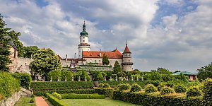 Výstup na Velkou Hejšovinu neboli Szczeliniec Wielki v pohoří Góry Stolowe
(elevation gain 800 m, 15 km)
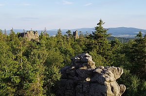


Sun
| today | tomorrow | day after tomorrow | |
|---|---|---|---|
| Dawn: | 6:58 | 6:00 | 6:01 |
| Sunrise: | 7:32 | 6:33 | 6:35 |
| Sunset: | 17:44 | 16:42 | 16:41 |
| Dusk: | 18:18 | 17:16 | 17:14 |