Gailtaler Polinik (2332 m a.s.l., Karnské Alpy)
Register and log summit


About peak Gailtaler Polinik
 Rakousko
Vrchol Gailtaler Polinik was added here by Martin Matějka and info was completed by Jan Blažej.
Gailtaler Polinik is part of challenges: Král Karnských Alp, Vápencové ultraperly východních Alp
Also known as Angerkofel.
- Chalet/accommodation
-
There is no chalet on the peak.
- Stroller access
-
Peak is not stroller accessible.
- Views
-
There are views from the peak.
- Cable car
-
There is no cable car to this peak.
- Equipment
-
No special equipment is required for this summit.
- Accessibility
-
Peak is freely accessible.
Nearest peaks: Elferspitz (2254 m, 0.7 km) Laucheck (2156 m, 1.9 km) Freikofel / Cuelat (1757 m, 3 km) Pal Piccolo / Kleiner Pal (1867 m, 3 km)
Routes nearby
(elevation gain 800 m, )
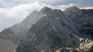 Výstup na Grosse Sandspitze - nejvyšší vrchol Lienzských Dolomit
(elevation gain 1000 m, )
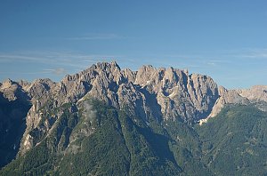 Výstup na Grosse Laserzwand v Lienzských Dolomitech
(elevation gain 1000 m, )
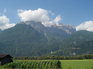
Webcams
( 0 km)
 Kotschach-Mauthen: Mauthen - Polinik - Blick nach Westen
(-32768 m a.s.l., 0.1 km)
 Kotschach-Mauthen: Alpencamp
(705 m a.s.l., 4.7 km)
 Kotschachdorf: Kötschach Mauthen - Kärnten - Webcam - Aquarena - Blick auf die Karnischen Alpen
(701 m a.s.l., 5.4 km)
 Kotschach-Mauthen: Pension Lipicer
(705 m a.s.l., 5.6 km)

Sun
| today | tomorrow | day after tomorrow | |
|---|---|---|---|
| Dawn: | 7:06 | 7:07 | 6:08 |
| Sunrise: | 7:36 | 7:38 | 6:39 |
| Sunset: | 18:07 | 18:06 | 17:04 |
| Dusk: | 18:38 | 18:37 | 17:35 |