




Hiking
st, 27.12.2023, 3:30
 Německo
Logged on Vrcholovka 1x in total. Vrchol Rotwand was added here by Ivetast and info was completed by Martin Matějka.
Rotwand is part of challenge: Král Bavorského předhůří
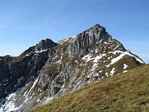
The highest mountain of the Mangfallgebirge group in the Bavarian foothills. The summit is located near the Rotwandhaus hut.
about 20 minutes from Rotwandhaus
Peak is not stroller accessible.
There are views from the peak.
There is no cable car to this peak.
No special equipment is required for this summit.
Peak is freely accessible.
Nearest peaks: Hochmiesing (1883 m, 1 km) Kleinmiesing (1666 m, 2.5 km) Tanzeck (1703 m, 2.6 km) Aiplspitz (1759 m, 2.7 km) Benzingspitz (1735 m, 3 km)
 Túra z Maurachu na Gschöllkopf v Tyrolsku

| today | tomorrow | day after tomorrow | |
|---|---|---|---|
| Dawn: | 7:11 | 7:12 | 6:14 |
| Sunrise: | 7:42 | 7:44 | 6:45 |
| Sunset: | 18:10 | 18:08 | 17:06 |
| Dusk: | 18:41 | 18:40 | 17:38 |