
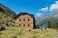



Hiking
so, 12.8.2023, 6:00


 Rakousko
Logged on Vrcholovka 1x in total. Vrchol Untere Klafferscharte was added here by Ivetast.
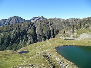
This is a pass with stunning views and plenty of small lakes.
There is no chalet on the peak.
Peak is not stroller accessible.
There are views from the peak.
There is no cable car to this peak.
No special equipment is required for this summit.
Peak is freely accessible.
Nearest peaks: Greifenstein (2397 m, 0.2 km) Klein Reislingkogel (2360 m, 0.5 km) Reislingkogel (2370 m, 0.5 km) Klafferkogel (2378 m, 0.7 km) Kapuzinerberg (2446 m, 1 km) Greifenberg (2618 m, 1.4 km) Klafferturm (2536 m, 1.4 km) Waldhorn (2702 m, 1.6 km) Schottwiegenhöhe (2523 m, 2 km) Pöllerhöhe (2601 m, 2.2 km) Kieseck (2681 m, 2.3 km) Meisterspitze (2617 m, 2.4 km) Großes Gangl (2602 m, 2.6 km) Schneider (2328 m, 2.9 km) Kaiserspitze (2572 m, 3 km) Kleines Gangl (2478 m, 3.3 km) Himmelreich (2500 m, 3.5 km) Kirchofen (2540 m, 3.7 km)
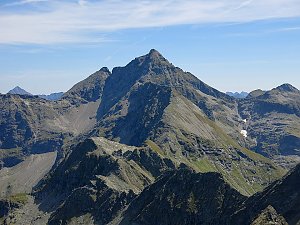 Výstup na vrchol Nízkých Taur - Hochgolling
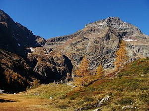 Túra po hřebeni Preber - Roteck ve Schladmingských Taurách
| today | tomorrow | day after tomorrow | |
|---|---|---|---|
| Dawn: | 6:19 | 6:20 | 6:21 |
| Sunrise: | 6:51 | 6:52 | 6:54 |
| Sunset: | 16:45 | 16:44 | 16:42 |
| Dusk: | 17:17 | 17:16 | 17:14 |