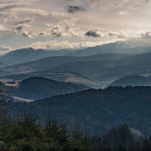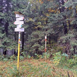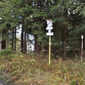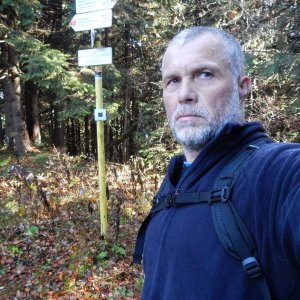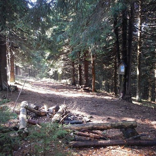


Budín (1222 m a.s.l., Oravská Magura)

49.34389N, 19.45240E 414 m 13.2 km 27.11.2019 Mapy.cz
Register and log summit
Budín
Uploaded: Martin Matějka

Weather Budín

Podpoř Vrcholovku!

About peak Budín

Slovensko Slovensko

Žilinský kraj

Logged on Vrcholovka 11x in total. Vrchol Budín was added here by Jarda Vála and info was completed by Martin Matějka.

Budín is part of challenges: Orava Basin, Slovensko 200+

Help others and .

Chalet/accommodation

There is no chalet on the peak.

Stroller access

Peak is not stroller accessible.

Views

There are no views from the peak.

Cable car

There is no cable car to this peak.

Equipment

No special equipment is required for this summit.

Accessibility

Peak is freely accessible.

Nearest peaks: Kýčera (953 m,  1.5 km) Za skalou (963 m,  1.8 km) Petrovka (942 m,  2.1 km) Opálený (753 m,  2.6 km) Čížiková (925 m,  2.9 km)

Sun

today tomorrow day after tomorrow
Dawn: 6:43 6:44 5:46
Sunrise: 7:15 7:17 6:18
Sunset: 17:37 17:35 16:33
Dusk: 18:09 18:08 17:06

Visitor trips

Oravská Magura.
Martin
Hiking, 26 km
2.3.2025

Oravskou Magurou.
Martin
Hiking, 25 km
3.3.2024

Latest summits

Martin - Budín
Martin
Hiking
ne, 2.3.2025, 11:52
Martin - Budín
Martin
Hiking
ne, 3.3.2024, 11:34
Horalka Anička on the summit of Budín (22.10.2023)
Horalka Anička
Hiking
ne, 22.10.2023
Rastislav Biarinec on the summit of Budín (26.10.2022 14:51)
Rastislav Biarinec
Hiking
st, 26.10.2022, 14:51
Rastislav Biarinec on the summit of Budín (22.10.2018 11:48)
Rastislav Biarinec
Hiking
po, 22.10.2018, 11:48
Tomáš Bublan - Budín
Tomáš Bublan
Hiking
st, 8.8.2018, 9:00
Horalka Anička - Budín
Horalka Anička
Hiking
po, 7.5.2018
Ľuboš - Budín
Ľuboš
Hiking
so, 30.7.2016, 14:38
PA!WELL - Budín
PA!WELL
Hiking
ne, 22.5.2005
Jarda Vála - Budín
Jarda Vála
Hiking
út, 1.7.2003
Share