

Hiking, 308 km
15.8.2026 to 20.8.2026
 Švýcarsko
Logged on Vrcholovka 2x in total. Vrchol Üssers Barrhorn was added here by Milan "Hojší" Průžek.
Barrhörner is a double summit in the Wallis Alps on the western side of the Mattertal valley. The Outer Barrhorn (Üssers Barrhorn, 3610 m) is the higher of the two peaks, located 750 meters south of it is the Inner Barrhorn (Inners Barrhorn, 3583 m). The Barrhörner is situated about three kilometers north of Brunegghorn above St. Niklaus.
The western slope of the mountain is not glaciated, and both peaks are accessible without ice equipment. From the summits, there are good views of Weisshorn, the Mischabel group with the cathedral, Monte Rosa, and the Bernese Alps with the Aletschgletscher glacier.
Outer Barrhorn is considered the "highest mountain for hiking in Europe." However, the summit of Grande Sassière, located on the French-Italian border, is even higher at 3751 m and is more easily accessible from the road to Val-d'Isère. The second highest "hiking mountain" is probably Rocciamelone (3538 m).
Routes
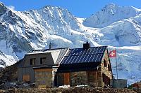
The nearest villages to Barrhorn are St. Niklaus im Mattertal and Gruben/Meiden im Turtmanntal. The standard ascent from the Turtmannhütte (2519 m) takes three to four hours. You can reach the hut from the valley in two to three hours. Depending on your choice, the path to the hut corresponds to difficulty T1 to T2+, and further to Barrhorn is T3.
The ascent from St. Niklaus leads via the Topali hut (2674 m) and the Schölli glacier. Above the Schölli glacier, the path goes via ferrata, partially secured with a fixed steel cable (difficulty T4). According to the hiking guide, the Schöllijoch trail is T5 with a steep firn slope, ropes, and iron steps. For the current condition of the Schölli glacier, check with the hut manager. The times for tours are St. Niklaus – Topalihütte 4.5 to 6 hours depending on the route and Topalihütte – Barrhorn about 6 hours.
There is no chalet on the peak.
Peak is not stroller accessible.
There are views from the peak.
There is no cable car to this peak.
No special equipment is required for this summit.
Peak is freely accessible.
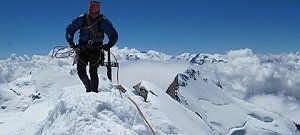 Výstupy v alpské čtyřtisícovky Bishorn a Combin de Valsorey, pro který byl motivátorem sám Ueli Steck
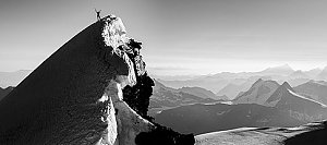 Výstup na čtyřtisícovku Weisshorn ve Walliských Alpách
 Výstup na švýcarskou čtyřtisícovku Weisshorn přes jižní, skalnatou hranou
Výstup na Zinalrothorn
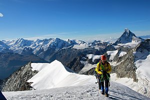
 Oberems
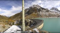 Turtmann-Unterems: Bishorn
 Anniviers: Cabane de Tracuit CAS - Turtmann Glacier - Bishorn - Tracuit - Weisshorn
 Anniviers › South-East: Tracuit Hut
 Chalais › South-east: Weisshorn
 Randa › South
 Randa › West: Bisgletscher - Weisshorn
 Randa: Grabengufer - Grabenhorn
 Randa: GrabenGufer
 Randa: GrabenGufer C

| today | tomorrow | day after tomorrow | |
|---|---|---|---|
| Dawn: | 6:42 | 6:44 | 6:45 |
| Sunrise: | 7:14 | 7:15 | 7:17 |
| Sunset: | 17:11 | 17:09 | 17:08 |
| Dusk: | 17:42 | 17:41 | 17:39 |