Václaváky (1136 m a.s.l., Šumava)
Register and log summit


About peak Václaváky
 Česko
Klatovy (Plzeňský kraj)
Logged on Vrcholovka 3x in total. Vrchol Václaváky was added here by Bouřka and info was completed by Bouřka a Martin Matějka.
A prominent hiking-accessible rock next to the path. At the top stands a geodetic point. The area is formally inaccessible (PP Královský hvozd), but when walking through the ruts made by heavy forestry machinery, it doesn't feel like a restricted area...
Height according to elevation analysis is 1136.12 m and the saddle is 1130.60 m, making it an unofficial secondary peak.
- Chalet/accommodation
-
There is no chalet on the peak.
- Stroller access
-
Peak is not stroller accessible.
- Views
-
There are views from the peak.
- Cable car
-
There is no cable car to this peak.
- Equipment
-
No special equipment is required for this summit.
- Accessibility
-
PP Královský hvozd.
Nearest peaks: Václaváky J (1129 m, 0.1 km) Horní Dámská J (1172 m, 0.4 km) Horní Dámská (1188 m, 0.7 km) Jezerní hora (1344 m, 1.8 km) Malý Špičák (1190 m, 2.3 km) Špičák (1205 m, 2.3 km) Jezerní hora SZ (1337 m, 2.5 km) Nad Špičáckým sedlem (1001 m, 2.9 km) Svaroh (1336 m, 3 km)
Routes nearby
(elevation gain 300 m, 5 km)
 Na sněžnicích nebo na běžkách napříč zimní Šumavou
(elevation gain 2000 m, 90 km)
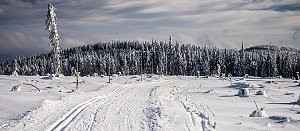 Přechod západní Šumavy
(elevation gain 3052 m, 121 km)
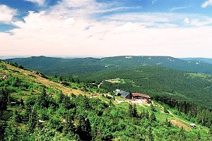 Výstup na Großer Arber neboli Velký Javor v Bavorském lese
(elevation gain 650 m, 8 km)
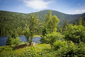 Přechod 12 tisícovek v Bavorském lese
(elevation gain 1540 m, 30 km)
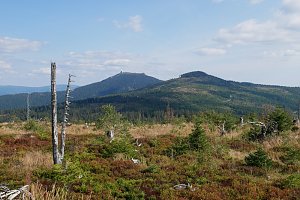 Výstup pralesem na Grosser Falkenstein/Velký Falkenštejn
(elevation gain 950 m, 17 km)
Webcams
( 2.2 km)
 Eisenstein Dorf: Sport areal Spicak
(900 m a.s.l., 2.2 km)
 Eisenstein Dorf: Špičák Rozhledna
(1177 m a.s.l., 2.2 km)
 Zelezna Ruda: Železná Ruda - Železná Ruda Špičák, POI 1
( 2.3 km)
 Zelezna Ruda: Železná Ruda - Nad nádražím, POI 1
( 3 km)
 Zelezna Ruda: Pancíř - Hofmanky (Šumava, Böhmerwald)
( 3.4 km)
 Pamferhütte: Hotel Engadin-skiareál Belveder
(828 m a.s.l., 3.8 km)
 Zelezna Ruda › West: Pancíř
(1205 m a.s.l., 5 km)
 Nový Brunst: Pancir
(1193 m a.s.l., 5 km)
 Brennes › South-West: Grosser Arber Talstation
(1042 m a.s.l., 5.4 km)
 Bayerisch Eisenstein: Steinberglift - Bayerischen Wald
( 6.2 km)
 Bayerisch Eisenstein › East
( 6.3 km)
 Grosser Arber: Bodenmais Tourism & Marketing GmbH − Silberberg − Naturpark Bayerischer Wald e.V. − Czechia
(1368 m a.s.l., 6.4 km)
 Schödelhöfe: Hojsova Stráž
(855 m a.s.l., 6.5 km)
 Bayerisch Eisenstein › West
( 6.7 km)
 Bayerisch Eisenstein › South-east: Großer Arbersee
( 6.7 km)

Sun
| today | tomorrow | day after tomorrow | |
|---|---|---|---|
| Dawn: | 7:08 | 7:09 | 6:11 |
| Sunrise: | 7:40 | 7:42 | 6:43 |
| Sunset: | 18:02 | 18:00 | 16:58 |
| Dusk: | 18:35 | 18:33 | 17:31 |