
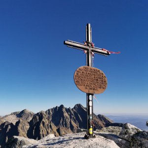

Hiking, 20 km
18.10.2023


Slovensko
Logged on Vrcholovka 1x in total. Vrchol Slavkovská vyhliadka Maximiliánka was added here by Šárka.
On the way to Slavkovský štít, above the tree line, there is a place with a beautiful view of the Malá Studená dolina, Lomnický štít, and Prostredný hrot. This spot was known as early as the end of the 19th century.
In 1881, the Hungarian Carpathian Society (UKS) built a path from Hrebienok to the upper limit of the dwarf pine. Twenty years later, the then-official of Starý Smokovec, Dr. Maximilián Weisz (1845-1925), became interested in the reconstruction of the neglected path.
Thanks to small donations from spa guests, in 1901, in cooperation with UKS, he began the reconstruction of the old path and its extension to the summit of Slavkovský štít. To please those visitors who did not have enough strength and determination to reach the summit, he modified the Slavkovská vyhlídka at the lower part of Štrbavý hřeben into an attractive viewpoint.
There is no chalet on the peak.
Peak is not stroller accessible.
There are views from the peak.
There is no cable car to this peak.
No special equipment is required for this summit.
Peak is freely accessible.
Nearest peaks: Zbojnícka skala (1199 m, 1.5 km) Predný Oštěp (1840 m, 1.7 km) Prostredný Oštěp (1845 m, 1.8 km) Slavkovský nos (2273 m, 1.9 km) Zadný Oštěp (1884 m, 1.9 km) Malý Kostol (2088 m, 2.2 km) Lomnický hrb (2041 m, 2.3 km) Veľká Lomnická veža (2214 m, 2.6 km) Veľký Kostol (2151 m, 2.6 km) Chmúrna veža (2255 m, 2.7 km) Prostredný hrot (2441 m, 3 km) Malý Hrot (2420 m, 3.1 km) Žltá stena (2169 m, 3.2 km) Žltá veža (2385 m, 3.2 km) Above Téryho Hut (2027 m, 3.4 km) Drobná veža (2319 m, 3.4 km) Sokolia veža (2340 m, 3.5 km) Pfinnova kopa (2121 m, 3.7 km)
 Dobrodružná turistika přes Priečne Sedlo
 Přechod tatranské magistrály
 Letní lezecké výstupy na Lomnický štít a Žlutou stěnu
 Výstup na Kežmarský štít
 Tatranský expres - prodloužený víkend v Tatrách
 Výstup na Rysy ve Vysokých Tatrách
 Okruh přes Východnou Vysokou
 Přechod Vysokých Tater na skialpech
 Výstup Martinkou na Gerlachovský štít
 Přechod Vysokých Tater
 Výstup na Gerlachovský štít - normálkou
Jahňací štít – nejvýchodnější vrchol Vysokých Tater
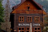
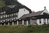
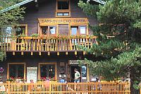
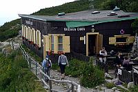
 District of Poprad: Starý Smokovec
 District of Poprad: Nový Smokovec, Smokovec - Nový Smokovec
 District of Poprad: Lomnické sedlo
 District of Poprad: Skalnaté Pleso chata
 District of Poprad: Tatranská Lomnica - Hohe Tatra, Skalnaté pleso - Skalnaté pleso
 Nový Smokovec
 District of Poprad: Lomnický štít
 District of Poprad: Lomnický štít 2634 m
 Chata pri Zelenom plese
 Dolina Zeleného plesa

| today | tomorrow | day after tomorrow | |
|---|---|---|---|
| Dawn: | 6:10 | 6:11 | 6:12 |
| Sunrise: | 6:44 | 6:45 | 6:47 |
| Sunset: | 16:02 | 16:00 | 15:59 |
| Dusk: | 16:36 | 16:35 | 16:34 |
