


Hiking, 24 km
17.6.2025
 Česko
Prachatice (Jihočeský kraj)
Logged on Vrcholovka 24x in total. Peak information here was completed by Martin Matějka.
Jelenská hora is part of challenges: Menagerie, Šumavské tisícovky, Šumavské ultratisícovky, The Highest Peaks of South Bohemia, Thousanders of the Czech Republic, Ultrapeaks
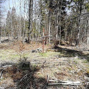
A prominent mountain located 5 km southeast of Stožec and 7 km northwest of Nová Pec by Lipno. Frost niches are found on the northern and northeastern edges of the summit area. The slopes of Jelenská hora are wrapped by the Medvědí stezka, the second oldest educational trail in the Czech Republic, marked in 1967. One of the stops along the trail is Medvědí kámen (Bärenstein), commemorating the last bear of Šumava, shot on November 14, 1856, on the western slope of Jelenská hora. In the southern saddle above the village of Jelení, there is a 400 m long tunnel that channels the Schwarzenberg shipping canal. At the southern portal of the tunnel, there is a tourist stamp location number 509.
There is no chalet on the peak.
Peak is not stroller accessible.
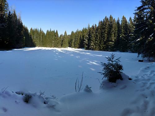
There are no views from the peak.
There is no cable car to this peak.
No special equipment is required for this summit.
Peak is freely accessible.
Nearest peaks: Bor (974 m, 1.2 km) Hvozd J (1051 m, 1.7 km) Kristiánova skála (993 m, 1.7 km) Hvozd (1047 m, 1.9 km) Obří kostky (1004 m, 1.9 km) Nad rozcestím SZ (986 m, 2 km) Perník (1053 m, 2 km) Perník JZ1 (1044 m, 2 km) Hlava telete (998 m, 2.1 km) Nad rozcestím (987 m, 2.1 km) Perník J2 (1052 m, 2.1 km) Plešivec (978 m, 2.1 km) Kamenná kráska (1012 m, 2.2 km) Kristiánova skála SZ1 (858 m, 2.2 km) Perník JZ2 (1045 m, 2.2 km) Václavova hora SV (991 m, 2.2 km) Kamenná kráska J (1009 m, 2.3 km) Kristiánova skála SV (854 m, 2.4 km) Perník J1 (1040 m, 2.4 km) Above the Bear Path (827 m, 2.5 km) Kristiánova skála SZ2 (833 m, 2.5 km) Spálený (818 m, 2.5 km) Kristiánova skála S (816 m, 2.6 km) Plešivec Z (939 m, 2.6 km) Above Rudolf's Path (772 m, 2.7 km) Spálený SZ (790 m, 2.9 km) Above the Burned Path V (991 m, 3.2 km) Nad Spálenou cestou (991 m, 3.2 km) Above the Burned Path J (987 m, 3.3 km) Above the Burnt Path SE1 (989 m, 3.4 km) At Pařezí V (947 m, 3.4 km) Nad Černým Křížem (788 m, 3.4 km) Above the Path of Geometers (897 m, 3.7 km)
| today | tomorrow | day after tomorrow | |
|---|---|---|---|
| Dawn: | 6:10 | 6:12 | 6:13 |
| Sunrise: | 6:43 | 6:44 | 6:46 |
| Sunset: | 16:53 | 16:51 | 16:49 |
| Dusk: | 17:25 | 17:24 | 17:22 |