

Hiking, 22 km
2.10.2026
 Česko
Liberec (Liberecký kraj)
Logged on Vrcholovka 127x in total. Peak information here was completed by Pavel Martínek, Iveta Válová, Martin Matějka a Horymír.
Holubník is part of challenges: Cross on the Summit of Domestic Mountains and Hills, Highest Peaks of the Jizera Mountains, Koruna Sudet, Nejhory Liberecka, Thousanders of the Czech Republic, Via Czechia Severní stezka
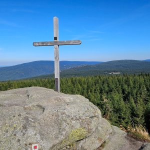
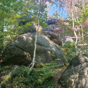
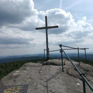
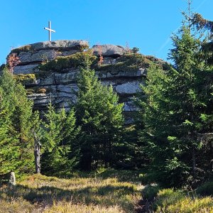
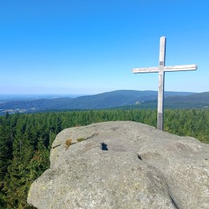
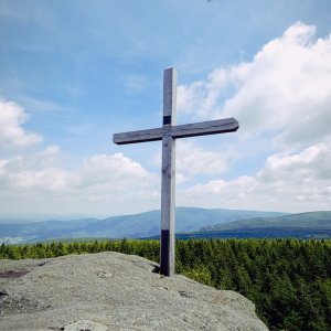
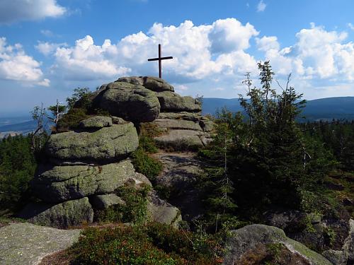
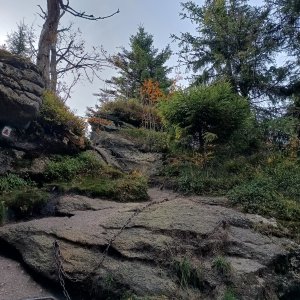
At the summit, a massive rock formation with a cross and a fantastic panoramic view. The path leads through a peat bog, which can be muddy and offers numerous wooden walkways. It's worth taking a moment to appreciate the nature around you; you can also observe frost weathering of granite blocks, which at times form the well-known mushroom shapes. It's important to note that you see a healthy forest around you, with occasional dead solitary trees reminding us of how people treated nature in the past. You may also notice various species of spruces and pines, with only one species being native. Among the spruces, two types are evident - sturdy straight branches (imported from alpine nurseries) and branches with drooping ends (the native ones that better withstand snow loads).
There is no chalet on the peak.
Peak is not stroller accessible.
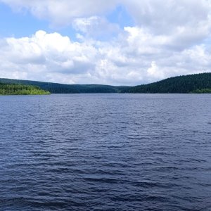
view of Smrk, Jizera, Olivetská hora, Bedřichov reservoir, and Ještěd
There is no cable car to this peak.
No special equipment is required for this summit.
Peak is freely accessible.
Nearest peaks: Ptačí kupy (1013 m, 1 km) Prostřední ptačí kupa (999 m, 1.1 km) White Death (1010 m, 1.2 km) Krásná Máří (904 m, 1.3 km) Lower Bird Hill (974 m, 1.3 km) Shadow Tower (970 m, 1.3 km) Na Skalce (953 m, 2.1 km) Ořešník (805 m, 2.2 km) Vlčí kámen (827 m, 2.2 km) Ořešník vyhlídka (800 m, 2.3 km) Černá hora (1084 m, 2.4 km) Malý Ořešník (588 m, 2.8 km) Svinské čelo (797 m, 2.8 km) Chorvatský vrch (843 m, 2.9 km)
 Přechod Jizerských hor
 Hejnice
 Bedrichov: Běžecký lyžařský areál - Jizerská 50 Start
 Josefuv Dul › North: Ski Lucifer
 Bedřichov › South: Liberecký, Czech Republic
 Janov nad Nisou

| today | tomorrow | day after tomorrow | |
|---|---|---|---|
| Dawn: | 7:02 | 7:03 | 6:05 |
| Sunrise: | 7:35 | 7:37 | 6:39 |
| Sunset: | 17:51 | 17:49 | 16:47 |
| Dusk: | 18:25 | 18:23 | 17:21 |