



Hiking, 38 km
14.7.2026
 Česko
Vsetín (Zlínský kraj)
Logged on Vrcholovka 90x in total. Vrchol Kyčera was added here by Petr Pepe Peloušek and info was completed by Petr Pepe Peloušek, Jiřina a Martin Matějka.
Kyčera is part of challenges: Crown of the Moravian-Silesian Beskids, Highest Peaks of the Moravian-Silesian Beskids
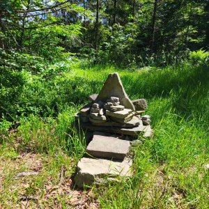
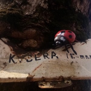
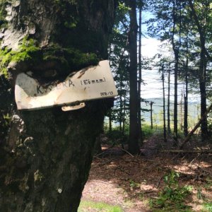
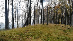
The summit is marked by a overgrown sign from KČT from 1979 and a new boulder with an inscription.
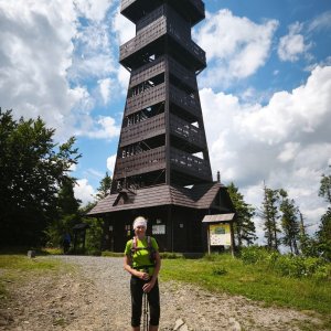
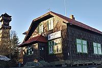
There is no chalet on the peak.
Peak is not stroller accessible.
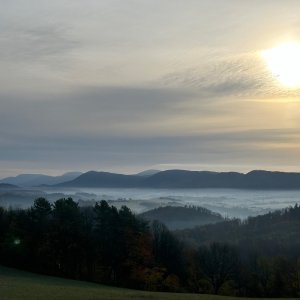
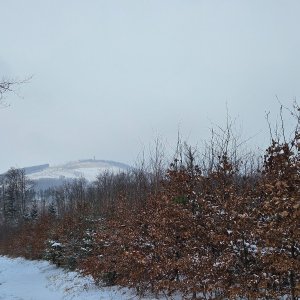
Just below the summit, there is a view towards Palkovické hůrky, Ondřejník, and Lysá hora.
There is no cable car to this peak.
No special equipment is required for this summit.
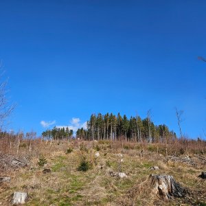
Peak is freely accessible.
Nearest peaks: Kršla (673 m, 0.6 km) Kozinec J (654 m, 1.1 km) Malý Javorník (838 m, 1.2 km) Pod Kyčerou (760 m, 1.4 km) Kaní (678 m, 1.5 km) Kozinec (603 m, 1.8 km) Rybníčky (700 m, 1.9 km) Chumchálky (638 m, 2.1 km) Velký Javorník (918 m, 2.6 km) Velká Polana (981 m, 2.7 km) Chlácholov (558 m, 2.8 km) Papratná (550 m, 3 km) Černá hora (901 m, 3.3 km) Chlácholůvek (526 m, 3.3 km) Na Stašku (610 m, 3.3 km)
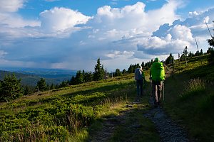 Přechod hřebene - Palkovické hůrky v podhůří Moravskoslezských Beskyd
| today | tomorrow | day after tomorrow | |
|---|---|---|---|
| Dawn: | 5:53 | 5:54 | 5:56 |
| Sunrise: | 6:26 | 6:27 | 6:29 |
| Sunset: | 16:36 | 16:34 | 16:32 |
| Dusk: | 17:09 | 17:07 | 17:05 |