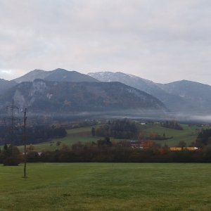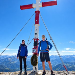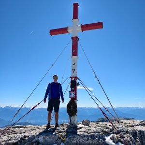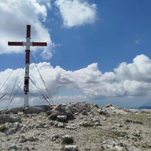



Hiking, 20 km
24.6.2026
 Rakousko
Logged on Vrcholovka 13x in total. Vrchol Warscheneck was added here by Martin Malý and info was completed by Martin Matějka, Divočák, Jan Blažej a Jiří Králík.
Warscheneck is part of challenge: Král Totes Gebirge
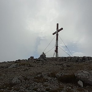
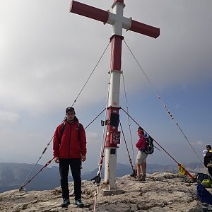
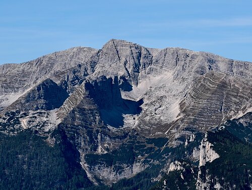
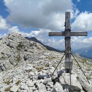
The highest peak of the Warscheneck group in the Totes Gebirge mountain range. Access to the summit is possible from four directions via red hiking trails. The most difficult is the Sudostgrat, which includes fixed aids, but it is also the shortest option thanks to the cable car.
There is no chalet on the peak.
Peak is not stroller accessible.
There are views from the peak.
There is no cable car to this peak.
No special equipment is required for this summit.
Peak is freely accessible.
Nearest peaks: Klein Warscheneck (2373 m, 0.2 km) Kayrhugel (2328 m, 0.4 km) Klein Kayrhugel (2271 m, 0.6 km) Widerlechnerstein (2110 m, 0.6 km) Liezener (2372 m, 0.7 km) Ramesch (2119 m, 0.7 km) Arbesboden (2176 m, 1.1 km) Toter Mann (2137 m, 1.4 km) Eisernes Bergl (1955 m, 1.7 km) Rossarsch (2229 m, 1.7 km) Torstein (2236 m, 1.7 km) Speikwiese (2045 m, 1.9 km) Lagelsberg (2014 m, 2 km) Lauskögerl (1930 m, 2.5 km) Schallerkogel (1845 m, 2.5 km) Kitzspitze (1977 m, 2.8 km)
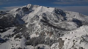 Výstup na jehlu Totes Gebirge - vrchol Stubwieswipfel
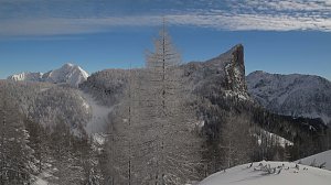 Panoramatická túra přes 5 dvoutisícovek Totes Gebirge
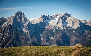
 Spital am Pyhrn: Wurzeralm - Gammering - Hahnlgraben
 Spital am Pyhrn: Wurzeralm - Gammering - Hahnlgraben
 Spital am Pyhrn: Wurzeralm - Gammering - Hahnlgraben
 Spital am Pyhrn: Wurzeralm - Bergstation Wurzeralm 2, Wurzerkampl
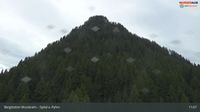 Spital am Pyhrn: Wurzeralm - Bergstation Wurzeralm 2, Stubwies
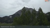 Spital am Pyhrn: Wurzeralm - Bergstation Wurzeralm 2, Warscheneck
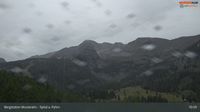 Spital am Pyhrn: Wurzeralm - Bergstation Wurzeralm 2, Widerlecherstein, Frauenkar Bergstation und Ramesch
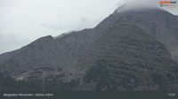 Spital am Pyhrn: Wurzeralm - Bergstation Wurzeralm 2, Teichlboden
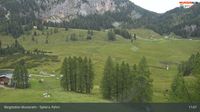 Spital am Pyhrn: Wurzeralm - Bergstation Wurzeralm 2, Eiserne Bergl
 Liezen: Langlaufzentrum Pyhrn

| today | tomorrow | day after tomorrow | |
|---|---|---|---|
| Dawn: | 7:00 | 7:02 | 7:03 |
| Sunrise: | 7:32 | 7:33 | 7:35 |
| Sunset: | 18:02 | 18:01 | 17:59 |
| Dusk: | 18:34 | 18:32 | 18:30 |