


Hiking, 13 km
8.8.2026
 Česko
Frýdek-Místek (Moravskoslezský kraj)
Logged on Vrcholovka 50x in total. Vrchol Babí hora was added here by Jan Zamarski and info was completed by Jan Zamarski, Alexandr Starý a Martin Matějka.
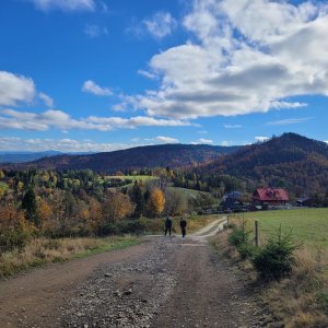
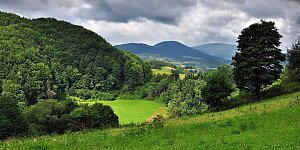
Babí hora (492 m a.s.l.) is a low, partially wooded hill on the western edge of the Silesian Beskids. It lies about 2 km east of Třinec and 1 km north of Vendryně in the Frýdek-Místek district (Moravian-Silesian Region). A red-marked hiking trail connecting Třinec and the Velká Čantoryje massif passes through the saddle that separates Babí hora from Vružná (530 m).
There is no chalet on the peak.
Peak is not stroller accessible.
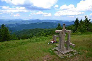
There are views from the peak.
There is no cable car to this peak.
No special equipment is required for this summit.
Peak is freely accessible.
Nearest peaks: Jahodná V (449 m, 0.8 km) Vružná (531 m, 0.8 km) Wróżna (561 m, 1 km) Jahodná (407 m, 1.3 km) Wróżna (571 m, 1.6 km) Jahodná S (419 m, 1.7 km) Malý Ostrý Z (574 m, 1.7 km) Hradisko (405 m, 1.9 km) Vavřkova hora (530 m, 2 km) Zagoj (512 m, 3.8 km)
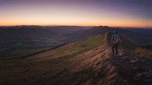 Přechod hlavního hřebene Moravskoslezských Beskyd
 Přes Beskydy a Javorníky podél východní hranice
| today | tomorrow | day after tomorrow | |
|---|---|---|---|
| Dawn: | 5:49 | 5:51 | 5:52 |
| Sunrise: | 6:22 | 6:24 | 6:25 |
| Sunset: | 16:35 | 16:34 | 16:32 |
| Dusk: | 17:08 | 17:07 | 17:05 |