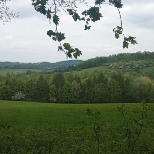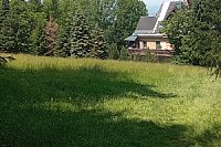




Hiking, 50 km
19.10.2025
 Česko
Frýdek-Místek (Moravskoslezský kraj)
Logged on Vrcholovka 239x in total. Vrchol Jahodná was added here by Jan Zamarski and info was completed by Pája a Alexandr Starý.
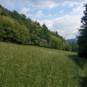
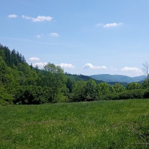
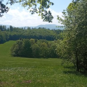
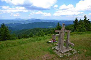
Jahodná Hill is located in the cadastral area of the town of Třinec, about 3 km north of its center. This hill, 407 m high, is geographically part of the Silesian Beskids, more specifically the Čantoryjský Ridge, on the edge of which it lies and gradually transitions westward into the Třinecká Basin (part of the Podbeskydská Highlands). It is a location that is somewhat unique, not only due to the presence of orchid species.
There is no chalet on the peak.
Peak is not stroller accessible.
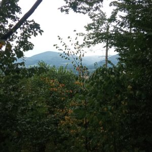
There are no views from the peak.
There is no cable car to this peak.
No special equipment is required for this summit.
Peak is freely accessible.
Nearest peaks: Jahodná S (419 m, 0.6 km) Jahodná V (449 m, 0.6 km) Babí hora (492 m, 1.3 km) Hradisko (405 m, 1.3 km) Vružná (531 m, 1.7 km) Wróżna (561 m, 2.1 km) Osůvka (396 m, 3.1 km) Farská hůrka (406 m, 3.2 km)
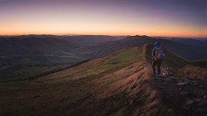 Přechod hlavního hřebene Moravskoslezských Beskyd
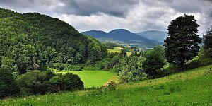 Přes Beskydy a Javorníky podél východní hranice
| today | tomorrow | day after tomorrow | |
|---|---|---|---|
| Dawn: | 6:46 | 6:48 | 5:49 |
| Sunrise: | 7:19 | 7:21 | 6:22 |
| Sunset: | 17:39 | 17:37 | 16:35 |
| Dusk: | 18:12 | 18:10 | 17:08 |