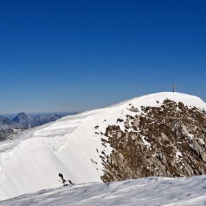
Hiking, 12 km
22.6.2026
 Rakousko
Logged on Vrcholovka 11x in total. Vrchol Gamsfeld was added here by Martin Malý and info was completed by Michal Kříž a Milan "Hojší" Průžek.
Gamsfeld is part of challenges: Austrian Alps, King of the Mountains of the Salzkammergut
The highest mountain of the Salzkammergutberge range. It is located in the Hallein district of the Austrian state of Salzburg, about 15 km southwest of the town of Bad Ischl. The mountain belongs to the sub-group Osterhorngruppe.
The summit can be reached via marked hiking trails from several directions. The shortest route is from the village of Rußbach am Paß Gschütt.
Angerkarhütte (on one of the trails), closed during my visit (July 5 - likely open only on weekends and as a restaurant, information about self-service mode unconfirmed)
Peak is not stroller accessible.
There are views from the peak.
There is no cable car to this peak.
No special equipment is required for this summit.
Peak is freely accessible.
Nearest peaks: Gamsfeld J1 (2023 m, 0.1 km) Gamsfeld J2 (2017 m, 0.2 km) Gamsfeld Z (1932 m, 0.4 km) Südliches Gamsfeld (1334 m, 1.4 km) Wilder Jäger (1842 m, 1.7 km) Großer Brettkogel (1658 m, 2 km)
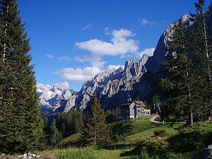 Tůry v okolí Wolfgangsee
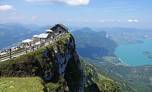 Tůry v okolí Hallstätter See
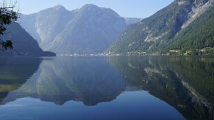 Na Schafberg od Wolfgangsee
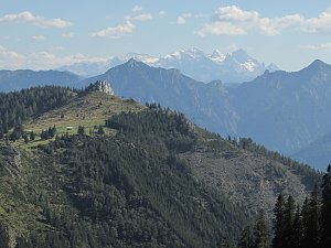 Okruh přes Hoher Dachstein
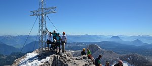 Výstup na Hoher Dachstein
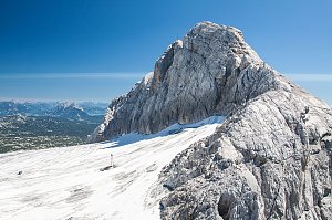 Vrchol Dachsteinu z Hallstattu
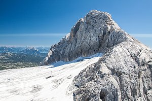 Dachstein z jihu od Ramsau
Výstup feratou na Drachenwand od jezera Mondsee
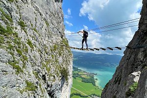 Okruh kolem jezera Fuschlsee v Solné komoře
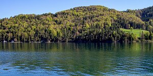 Okruh po horských chatách kolem Dachsteinu
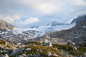 Okruh přes Schober a Frauenkopf
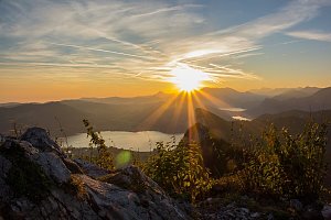
 Abtenau: Strobl, Postalm - Postalm Zauberteppich, Blondehütte/Welserhütte
 Abtenau: Strobl, Postalm - Postalm Zauberteppich, 2er Lift
 Abtenau: Strobl, Postalm - Postalm Zauberteppich, Parkplatz/Skiverleih
 Abtenau: Strobl, Postalm - Postalm Zauberteppich, Gschlössl
 Abtenau: Strobl, Postalm - Postalm Zauberteppich, Lienbachhof
 Abtenau: Strobl, Postalm - Postalm Zauberteppich, Schischule/Lift1
 Strobl: Postalm - Panoramahütte
 Gosau: Standort Gosausee
 Russbach am Pass Gschutt: Gossau - Dachstein-West
 Russbach am Pass Gschutt: Russbach, Dachstein West - Dachstein West - Bergstation Hornbahn
 Russbach am Pass Gschutt: Russbach, Dachstein West - Dachstein West - Bergstation Hornbahn
 Russbach am Pass Gschutt: Russbach, Dachstein West - Dachstein West - Bergstation Hornbahn
 Steinermuhle: Gosau am Dachstein - COOEE alpin
 Russbach am Pass Gschutt: Gosau, Dachstein West - Hornspitz II Bergstation
 Gosau: Dachstein West - Hornspitz Talstation

| today | tomorrow | day after tomorrow | |
|---|---|---|---|
| Dawn: | 6:08 | 6:09 | 6:10 |
| Sunrise: | 6:39 | 6:41 | 6:42 |
| Sunset: | 17:00 | 16:58 | 16:57 |
| Dusk: | 17:32 | 17:30 | 17:29 |