



Hiking, 21 km
9.8.2026
 Slovensko
Banskobystrický kraj
Logged on Vrcholovka 51x in total. Spočinek Panská hoľa was added here by Michal and info was completed by Michal, Martin Matějka, Malek Belhadj a Bouřka.
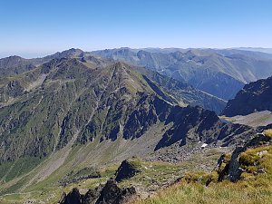
Panská hoľa - a nearly horizontal ridge in the Besná range descending into Kumštové saddle. In the main ridge of the Low Tatras, about 4 km east of M. R. Štefánik Hut. The northern slope is densely covered with dwarf pine, while the southern slope was deforested in the past due to mining activities in the lower Kumštová valley.
There is no chalet on the peak.
Peak is not stroller accessible.
There are views from the peak.
There is no cable car to this peak.
No special equipment is required for this summit.
Peak is freely accessible.
Nearest peaks: Besná SV (1768 m, 0.9 km) Nad Kumštovým sedlem (1601 m, 1 km) Besná (1807 m, 1.2 km) Lajštroch SV (1574 m, 1.3 km) Rovná hoľa Z (1667 m, 1.7 km) Lajštroch (1602 m, 2.1 km) Rovienky (1590 m, 2.5 km) Rovná hoľa (1723 m, 2.5 km) Štiavnica V (1969 m, 2.5 km)
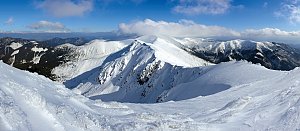 Přechod Karpatského oblouku - opuštěná hřebenovka za humny
| today | tomorrow | day after tomorrow | |
|---|---|---|---|
| Dawn: | 5:44 | 5:46 | 5:47 |
| Sunrise: | 6:17 | 6:18 | 6:20 |
| Sunset: | 16:33 | 16:31 | 16:29 |
| Dusk: | 17:05 | 17:04 | 17:02 |