

Hiking, 24 km
5.11.2025
 Česko
Klatovy (Plzeňský kraj)
Logged on Vrcholovka 7x in total. Peak information here was completed by Martin Matějka, Vladimír Grančay, Bouřka a Michal Kříž.
Nad Roklanským potokem is part of challenges: Šumavské tisícovky, The Highest Peaks of Plzeň Region, Thousanders of the Czech Republic
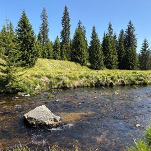
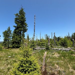
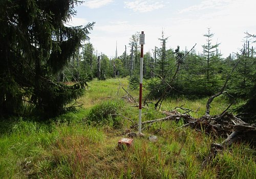
Flat hill 4 km west of Modrava. This unnamed peak is surrounded by bogs on all sides, with the Roklanský stream flowing around it from the south and east. Scattered debris is rare. It is forested with spruce, and there is a meadow at the summit. There is a geodetic point at the top. /tisicovky.cz/
The peak is completely outside the I. zone of the national park, so it is accessible provided you avoid them on the way to it.
There is no chalet on the peak.
Peak is not stroller accessible.
There are no views from the peak.
There is no cable car to this peak.
No special equipment is required for this summit.
Peak is freely accessible.
Nearest peaks: Nad Latschensee JV (1117 m, 1 km) Přední Mlynářská slať (1063 m, 1.3 km) Modravská hora Z (1110 m, 1.5 km) Smrkový vrch V (1089 m, 1.6 km) Smrkový vrch (1111 m, 2.1 km) Rybárenská slať (1052 m, 2.5 km) Studená hora S2 (1188 m, 2.7 km) Medvědí hora J (1225 m, 3.1 km) Studená hora S1 (1203 m, 3.1 km)
 Výstup na Lužný neboli Lausen
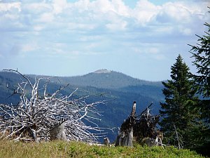
 Modrava › North-West
 Modrava
 Březník: pohled na Luzný (Lusen)
 Kaltenbrunn: Poledník, pohled na jih
 Prasily: Rozhledna Poledník
 Kaltenbrunn: Poledník

| today | tomorrow | day after tomorrow | |
|---|---|---|---|
| Dawn: | 7:06 | 7:08 | 6:09 |
| Sunrise: | 7:39 | 7:40 | 6:42 |
| Sunset: | 18:01 | 18:00 | 16:58 |
| Dusk: | 18:34 | 18:32 | 17:30 |